| Name | Rothemanner Straße (name)
Rothemanner Straße (name:de)
K 61 (ref)
|
| Type | highway:tertiary |
| Last Updated | 2018-12-04 13:24 |
| Admin Level | 15 |
| Rank | Street / Major Landmark |
| Importance | 0.1 (estimated) |
| Coverage | Point |
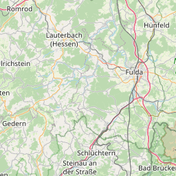
| Centre Point | 50.4779418,9.7223515 |
| OSM | way 137082736 |
| Computed Postcode | 36124 |
| Address Tags | |
| Extra Tags | 50 (maxspeed)
asphalt (surface)
|
| Local name | Type | OSM | Address rank | Admin level | Distance | |
| Rothemanner Straße | highway:tertiary | way 137082736 | 26 | 0 | details > | |
| Dornhecke | place:isolated_dwelling | node 4272149221 | 20 | 0 | details > | |
| Steinhof | place:isolated_dwelling | node 4272149225 | 20 | 0 | details > | |
| Welkers | place:village | way 23438817 | 16 | 0 | details > | |
| Eichenzell | place:town | relation 454872 | 16 | 8 | 0 | details > |
| Landkreis Fulda | place:county | relation 62700 | 12 | 6 | 0 | details > |
| Regierungsbezirk Kassel | boundary:administrative | relation 286675 | 10 | 5 | 0 | details > |
| Hessen | place:state | relation 62650 | 8 | 4 | 0 | details > |
| 36124 | place:postcode | 5 | 0 | |||
| 36124 | place:postcode | relation 3354359 | 5 | 0 | details > | |
| Deutschland | place:country | relation 51477 | 4 | 2 | ~1 m | details > |
| de | place:country_code | 4 | 0 | |||
| Europe | place:continent | node 25871341 | 2 | 0 | details > | |
Parent Of | ||||||
Information | ||||||
| No Name | tourism:information | node 1011008114 | 30 | ~47 m | details > | |