| Name | Fischgasse (name)
|
| Type | highway:residential |
| Last Updated | 2018-12-04 18:36 |
| Admin Level | 15 |
| Rank | Street / Major Landmark |
| Importance | 0.1 (estimated) |
| Coverage | Point |
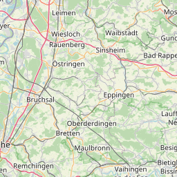
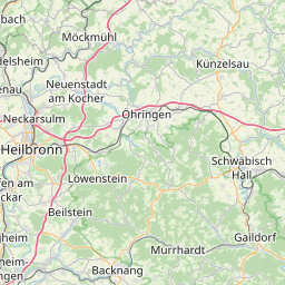
| Centre Point | 48.9793649,8.9893636 |
| OSM | way 55689897 |
| Computed Postcode | 71665 |
| Address Tags | |
| Extra Tags | 30 (maxspeed)
asphalt (surface)
|
| Local name | Type | OSM | Address rank | Admin level | Distance | |
| Fischgasse | highway:residential | way 55689897 | 26 | 0 | details > | |
| Untere Mühle | place:isolated_dwelling | node 5271844550 | 20 | 0 | details > | |
| Bromberg | place:isolated_dwelling | node 5307131715 | 20 | 0 | details > | |
| Vaihingen an der Enz | place:town | relation 405820 | 16 | 8 | 0 | details > |
| Horrheim | place:village | node 1498577963 | 16 | 0 | details > | |
| Vaihingen an der Enz | boundary:administrative | relation 1613509 | 14 | 7 | 0 | details > |
| Landkreis Ludwigsburg | boundary:administrative | relation 62536 | 12 | 6 | 0 | details > |
| Regierungsbezirk Stuttgart | boundary:administrative | relation 22041 | 10 | 5 | 0 | details > |
| Baden-Württemberg | place:state | relation 62611 | 8 | 4 | 0 | details > |
| 71665 | place:postcode | 5 | 0 | |||
| 71665 | place:postcode | relation 3378016 | 5 | 0 | details > | |
| Deutschland | place:country | relation 51477 | 4 | 2 | ~3 m | details > |
| de | place:country_code | 4 | 0 | |||
Parent Of | ||||||
Building | ||||||
| No Name | building:yes | way 213811281 | 30 | ~102 m | details > | |
| No Name | building:yes | way 213811277 | 30 | ~91 m | details > | |
| No Name | building:yes | way 319849223 | 30 | ~75 m | details > | |
| No Name | building:yes | way 562179958 | 30 | ~39 m | details > | |
| No Name | building:yes | way 562179956 | 30 | ~27 m | details > | |
| No Name | building:yes | way 562179955 | 30 | ~19 m | details > | |
| No Name | building:yes | way 562179954 | 30 | ~16 m | details > | |
| No Name | building:yes | way 562179948 | 30 | ~35 m | details > | |
| No Name | building:yes | way 562179949 | 30 | ~48 m | details > | |
| No Name | building:yes | way 401043784 | 30 | ~68 m | details > | |
| No Name | building:yes | way 562179943 | 30 | ~56 m | details > | |
| No Name | building:yes | way 562179939 | 30 | ~66 m | details > | |