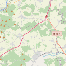
| Name | EI 31 (ref)
|
| Type | highway:tertiary |
| Last Updated | 2018-12-04 06:56 |
| Admin Level | 15 |
| Rank | Street / Major Landmark |
| Importance | 0.1 (estimated) |
| Coverage | Point |
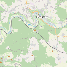
| Centre Point | 48.854238,11.606742 |
| OSM | way 77053512 |
| Computed Postcode | 85129 |
| Address Tags | |
| Extra Tags | 80 (maxspeed)
|
| Local name | Type | OSM | Address rank | Admin level | Distance | |
| EI 31 | highway:tertiary | way 77053512 | 26 | 0 | details > | |
| Kollerhof | place:isolated_dwelling | node 5387407920 | 20 | 0 | details > | |
| Oberdolling | place:village | relation 943532 | 16 | 8 | 0 | details > |
| Oberoffendorf | place:hamlet | node 293774493 | 16 | 0 | details > | |
| Biber | place:hamlet | node 293774495 | 16 | 0 | details > | |
| Stockau | place:hamlet | node 293774491 | 16 | 0 | details > | |
| Hüttenhausen | place:hamlet | node 293774494 | 16 | 0 | details > | |
| Weißendorf | place:hamlet | node 293771859 | 16 | 0 | details > | |
| Mindelstetten | place:village | relation 943558 | 16 | 8 | 0 | details > |
| Offendorf | place:hamlet | node 293774492 | 16 | 0 | details > | |
| Weiher | place:hamlet | node 293771862 | 16 | 0 | details > | |
| Pförring (VGem) | boundary:administrative | relation 2971581 | 14 | 7 | 0 | details > |
| Landkreis Eichstätt | boundary:administrative | relation 62684 | 12 | 6 | 0 | details > |
| Obb | boundary:administrative | relation 2145274 | 10 | 5 | 0 | details > |
| Bayern | place:state | relation 2145268 | 8 | 4 | 0 | details > |
| 85129 | place:postcode | 5 | 0 | |||
| 93349 | place:postcode | relation 1126234 | 5 | 0 | details > | |
| 85129 | place:postcode | relation 1099997 | 5 | 0 | details > | |
| Deutschland | place:country | relation 51477 | 4 | 2 | ~3 m | details > |
| de | place:country_code | 4 | 0 | |||
Parent Of | ||||||
Bus_stop | ||||||
| Oberoffendorf, Abzweigung | highway:bus_stop | node 3669696738 | 30 | ~86 m | details > | |
| Oberoffendorf, Abzweigung | highway:bus_stop | node 3669696739 | 30 | ~85 m | details > | |