| Name | Freiheitsstraße (name)
|
| Type | highway:residential |
| Last Updated | 2018-12-04 05:08 |
| Admin Level | 15 |
| Rank | Street / Major Landmark |
| Importance | 0.1 (estimated) |
| Coverage | Point |
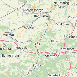
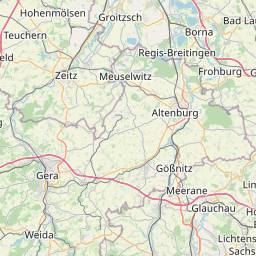
| Centre Point | 51.0362335,12.1341078 |
| OSM | way 104395401 |
| Computed Postcode | 06712 |
| Address Tags | |
| Extra Tags | 50 (maxspeed)
asphalt (surface)
|
| Local name | Type | OSM | Address rank | Admin level | Distance | |
| Freiheitsstraße | highway:residential | way 104395401 | 26 | 0 | details > | |
| Völkerfreundschaft | place:neighbourhood | node 4025751019 | 22 | 0 | details > | |
| Rasberg | place:suburb | way 402650173 | 20 | 0 | details > | |
| Zeitz | place:town | relation 2404586 | 16 | 8 | 0 | details > |
| Kuhndorf | place:village | node 1935082986 | 16 | 0 | details > | |
| Bergisdorf | place:village | node 240040313 | 16 | 0 | details > | |
| Burgenlandkreis | place:county | relation 62639 | 12 | 6 | 0 | details > |
| Sachsen-Anhalt | place:state | relation 62607 | 8 | 4 | ~1 m | details > |
| 06712 | place:postcode | 5 | 0 | |||
| 06712 | place:postcode | relation 2405004 | 5 | 0 | details > | |
| Deutschland | place:country | relation 51477 | 4 | 2 | ~2 m | details > |
| de | place:country_code | 4 | 0 |