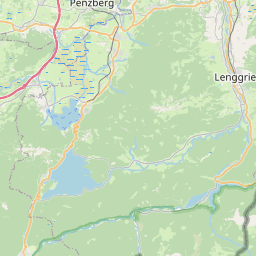
| Name | Wegscheid (name)
|
| Type | place:village |
| Last Updated | 2018-12-03 17:57 |
| Admin Level | 15 |
| Rank | Other: 19 |
| Importance | 0.275 (estimated) |
| Coverage | Polygon |
| Centre Point | 47.6629116,11.5781667324795 |
| OSM | way 109320777 |
| Computed Postcode | |
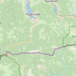
| Address Tags | Lenggries,Bad Tölz-Wolfratshausen,Oberbayern,Bayern,Bundesrepublik Deutschland,Europe (is_in)
|
| Extra Tags | http://www.lenggries-wegscheid.de/deutsch/pages/start/start.php (url)
|
| Local name | Type | OSM | Address rank | Admin level | Distance | |
| Wegscheid | place:village | way 109320777 | 16 | 0 | details > | |
| Lenggries | place:town | relation 935242 | 16 | 8 | 0 | details > |
| Landkreis Bad Tölz-Wolfratshausen | boundary:administrative | relation 62472 | 12 | 6 | 0 | details > |
| Obb | boundary:administrative | relation 2145274 | 10 | 5 | 0 | details > |
| Bayern | place:state | relation 2145268 | 8 | 4 | ~1 m | details > |
| Deutschland | place:country | relation 51477 | 4 | 2 | ~4 m | details > |
| de | place:country_code | 4 | 0 | |||
Parent Of | ||||||
Residential | ||||||
| Am Sagbach | highway:residential | way 29382179 | 26 | ~575 m | details > | |
| Am Sagbach | highway:residential | way 212333215 | 26 | ~707 m | details > | |
| Am Sagbach | highway:residential | way 29382177 | 26 | ~479 m | details > | |
| Am Sagbach | highway:residential | way 29382180 | 26 | ~584 m | details > | |
| Auweg | highway:residential | way 25041667 | 26 | ~243 m | details > | |
| Ganterweg | highway:residential | way 26536552 | 26 | ~574 m | details > | |
| Ganterweg | highway:residential | way 25041695 | 26 | ~136 m | details > | |
| Ganterweg | highway:residential | way 97714069 | 26 | ~525 m | details > | |
| Griesweg | highway:residential | way 25150946 | 26 | ~65 m | details > | |
| Schellenburg | highway:residential | way 306446179 | 26 | ~383 m | details > | |
| Schulweg | highway:residential | way 25044460 | 26 | ~73 m | details > | |
| Untermurbach | highway:residential | way 557347667 | 26 | ~457 m | details > | |
| Untermurbach | highway:residential | way 25494306 | 26 | ~394 m | details > | |
| Untermurbach | highway:residential | way 50561027 | 26 | ~221 m | details > | |
| No Name | highway:residential | way 109314963 | 26 | ~243 m | details > | |
| No Name | highway:residential | way 109304384 | 26 | ~364 m | details > | |
| No Name | highway:residential | way 109320775 | 26 | ~365 m | details > | |
| No Name | highway:residential | way 27312506 | 26 | ~329 m | details > | |
| No Name | highway:residential | way 27312510 | 26 | ~394 m | details > | |
| No Name | highway:residential | way 27312504 | 26 | ~394 m | details > | |
| No Name | highway:residential | way 29400984 | 26 | ~558 m | details > | |
| No Name | highway:residential | way 26536553 | 26 | ~415 m | details > | |
| No Name | highway:residential | way 25044969 | 26 | ~331 m | details > | |
Secondary | ||||||
| Jachenauer Straße | highway:secondary | way 212333230 | 26 | ~331 m | details > | |
| Jachenauer Straße | highway:secondary | way 25045092 | 26 | ~41 m | details > | |
| Jachenauer Straße | highway:secondary | way 212333233 | 26 | ~479 m | details > | |
| Jachenauer Straße | highway:secondary | way 16777038 | 26 | ~250 m | details > | |
| Jachenauer Straße | highway:secondary | way 557347669 | 26 | ~221 m | details > | |
| Jachenauer Straße | highway:secondary | way 29400982 | 26 | ~459 m | details > | |
| Jachenauer Straße | highway:secondary | way 29400983 | 26 | ~442 m | details > | |
| St 2072 | highway:secondary | way 29375080 | 26 | ~609 m | details > | |
Path | ||||||
| Isarwanderweg | highway:path | way 29382188 | 27 | ~494 m | details > | |