| Name | Nüst (name)
|
| Type | landuse:residential |
| Last Updated | 2018-12-03 20:17 |
| Admin Level | 15 |
| Rank | Croft / Farm / Locality / Islet |
| Importance | 0.2 (estimated) |
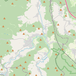
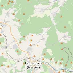
| Coverage | Polygon |
| Centre Point | 50.65953695,9.7603489419836 |
| OSM | way 111667942 |
| Computed Postcode | 36088 |
| Address Tags | |
| Extra Tags | de:Nüst (Hünfeld) (wikipedia)
|
| Local name | Type | OSM | Address rank | Admin level | Distance | |
| Nüst | landuse:residential | way 111667942 | 22 | 0 | details > | |
| Hünfeld | place:town | relation 454865 | 16 | 8 | 0 | details > |
| Nüst | place:village | node 1637963486 | 16 | 0 | details > | |
| Landkreis Fulda | place:county | relation 62700 | 12 | 6 | 0 | details > |
| Regierungsbezirk Kassel | boundary:administrative | relation 286675 | 10 | 5 | 0 | details > |
| Hessen | place:state | relation 62650 | 8 | 4 | 0 | details > |
| 36088 | place:postcode | 5 | 0 | |||
| 36088 | place:postcode | relation 3354355 | 5 | 0 | details > | |
| Deutschland | place:country | relation 51477 | 4 | 2 | 0 | details > |
| de | place:country_code | 4 | 0 | |||
| Europe | place:continent | node 25871341 | 2 | 0 | details > | |
Parent Of | ||||||
Residential | ||||||
| An der Nüst | highway:residential | way 81158263 | 26 | ~189 m | details > | |
| An der Nüst | highway:residential | way 79766858 | 26 | ~21 m | details > | |
| An der Nüst | highway:residential | way 81158224 | 26 | ~179 m | details > | |
| Gottfried-Keller-Straße | highway:residential | way 209161002 | 26 | ~89 m | details > | |
| Gottfried-Keller-Straße | highway:residential | way 336754518 | 26 | ~89 m | details > | |
| Kleewiesenstraße | highway:residential | way 79766294 | 26 | ~229 m | details > | |
| Krautgärtenstraße | highway:residential | way 81156343 | 26 | ~201 m | details > | |
| Lessingstraße | highway:residential | way 79774104 | 26 | ~197 m | details > | |
| Liethring | highway:residential | way 215023265 | 26 | ~291 m | details > | |
| Liethring | highway:residential | way 336580265 | 26 | ~71 m | details > | |
| Liethring | highway:residential | way 336751706 | 26 | ~114 m | details > | |
| Michelsteinstraße | highway:residential | way 79577745 | 26 | ~149 m | details > | |
| St.-Vitus-Straße | highway:residential | way 79773883 | 26 | ~139 m | details > | |
| St.-Vitus-Straße | highway:residential | way 218329716 | 26 | ~143 m | details > | |
| Stirnstraße | highway:residential | way 81156350 | 26 | ~111 m | details > | |
| Theodor-Fontane-Straße | highway:residential | way 79766940 | 26 | ~281 m | details > | |
| Theodor-Storm-Straße | highway:residential | way 79775183 | 26 | ~261 m | details > | |
| No Name | highway:residential | way 215311144 | 26 | ~61 m | details > | |
| No Name | highway:residential | way 215311143 | 26 | ~72 m | details > | |
Tertiary | ||||||
| Dammersbacher Straße | highway:tertiary | way 153022970 | 26 | ~107 m | details > | |
| Dammersbacher Straße | highway:tertiary | way 337177885 | 26 | ~31 m | details > | |
| Dammersbacher Straße | highway:tertiary | way 337805034 | 26 | ~86 m | details > | |
| Dammersbacher Straße | highway:tertiary | way 337805032 | 26 | ~102 m | details > | |
| Dammersbacher Straße | highway:tertiary | way 215019734 | 26 | ~71 m | details > | |
| K 12 | highway:tertiary | way 337096242 | 26 | ~358 m | details > | |
Pedestrian | ||||||
| No Name | highway:pedestrian | way 355143549 | 26 | ~172 m | details > | |
Service | ||||||
| Dammersbacher Straße | highway:service | way 337096240 | 27 | ~358 m | details > | |