| Name | Albtalbahnhof (name)
|
| Type | highway:platform |
| Last Updated | 2018-12-05 01:43 |
| Admin Level | 15 |
| Rank | Street / Major Landmark |
| Importance | 0.1 (estimated) |
| Coverage | Polygon |
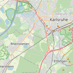
| Centre Point | 48.99390895,8.39544723680877 |
| OSM | way 111792053 |
| Computed Postcode | 76137 |
| Address Tags | |
| Extra Tags | asphalt (surface)
|
| Local name | Type | OSM | Address rank | Admin level | Distance | |
| Albtalbahnhof | highway:platform | way 111792053 | 26 | 0 | details > | |
| Beiertheim | boundary:administrative | relation 8000194 | 22 | 11 | 0 | details > |
| Beiertheim-Bulach | boundary:administrative | relation 63402 | 20 | 10 | 0 | details > |
| Beiertheim | place:suburb | node 329049408 | 20 | 0 | details > | |
| Pforzheim | place:city | node 240046032 | 16 | 0 | details > | |
| Karlsruhe | place:city | relation 62518 | 12 | 6 | 0 | details > |
| Regierungsbezirk Karlsruhe | boundary:administrative | relation 22027 | 10 | 5 | 0 | details > |
| Baden-Württemberg | place:state | relation 62611 | 8 | 4 | 0 | details > |
| 76137 | place:postcode | 5 | 0 | |||
| 76137 | place:postcode | relation 907201 | 5 | 0 | details > | |
| Deutschland | place:country | relation 51477 | 4 | 2 | ~3 m | details > |
| de | place:country_code | 4 | 0 | |||
Parent Of | ||||||
Bus_stop | ||||||
| Albtalbahnhof | highway:bus_stop | node 970158405 | 30 | ~7 m | details > | |
Vending_machine | ||||||
| Karlsruher Verkehrsverbund | amenity:vending_machine | node 3240104172 | 30 | ~39 m | details > | |