| Name | Tönninger Straße (name)
Tönninger Straße (name:de)
B 202 (ref)
|
| Type | highway:primary |
| Last Updated | 2018-12-04 15:06 |
| Admin Level | 15 |
| Rank | Street / Major Landmark |
| Importance | 0.1 (estimated) |
| Coverage | Point |
| Centre Point | 54.3772988,9.0776587 |
| OSM | way 126532889 |
| Computed Postcode | 25840 |
| Address Tags | |
| Extra Tags | 2 (lanes)
50 (maxspeed)
asphalt (surface)
|
| Local name | Type | OSM | Address rank | Admin level | Distance | |
| Tönninger Straße | highway:primary | way 126532889 | 26 | 0 | details > | |
| Westerbur | place:isolated_dwelling | node 1597468992 | 20 | 0 | details > | |
| Dammsfeld | place:isolated_dwelling | node 1597468967 | 20 | 0 | details > | |
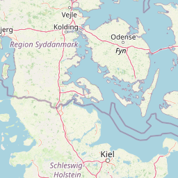
| Friedrichstadt | place:town | relation 1402987 | 16 | 8 | 0 | details > |
| Nordfriesland | place:county | relation 27019 | 12 | 6 | 0 | details > |
| Schleswig-Holstein | place:state | relation 51529 | 8 | 4 | 0 | details > |
| 25840 | place:postcode | 5 | 0 | |||
| 25840 | place:postcode | relation 1443868 | 5 | 0 | details > | |
| Deutschland | place:country | relation 51477 | 4 | 2 | ~3 m | details > |
| de | place:country_code | 4 | 0 | |||
Parent Of | ||||||
Milestone | ||||||
| Meilenstein Friedrichstadt | historic:milestone | node 3916038700 | 30 | ~111 m | details > | |
Give_way | ||||||
| No Name | highway:give_way | node 2431473232 | 30 | ~328 m | details > | |