| Name | Kahlenbühlsträßle (name)
|
| Type | highway:track |
| Last Updated | 2018-12-04 13:58 |
| Admin Level | 15 |
| Rank | Street / Major Landmark |
| Importance | 0.1 (estimated) |
| Coverage | Point |
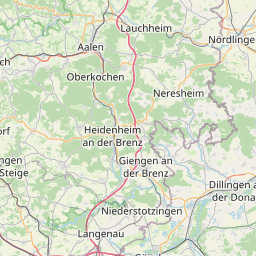
| Centre Point | 48.7730522,10.1448456 |
| OSM | way 145274473 |
| Computed Postcode | 89551 |
| Address Tags | |
| Extra Tags | gravel (surface)
grade2 (tracktype)
|
| Local name | Type | OSM | Address rank | Admin level | Distance | |
| Kahlenbühlsträßle | highway:track | way 145274473 | 26 | 0 | details > | |
| Unterkochen | place:suburb | node 775168877 | 20 | 0 | details > | |
| Ebnat | place:suburb | node 32518294 | 20 | 0 | details > | |
| Königsbronn | place:village | relation 2792008 | 16 | 8 | 0 | details > |
| Ochsenberg | place:village | node 330890784 | 16 | 0 | details > | |
| Landkreis Heidenheim | boundary:administrative | relation 2812850 | 12 | 6 | 0 | details > |
| Regierungsbezirk Stuttgart | boundary:administrative | relation 22041 | 10 | 5 | 0 | details > |
| Baden-Württemberg | place:state | relation 62611 | 8 | 4 | ~1 m | details > |
| 89551 | place:postcode | 5 | 0 | |||
| 89551 | place:postcode | relation 1141131 | 5 | 0 | details > | |
| Deutschland | place:country | relation 51477 | 4 | 2 | ~3 m | details > |
| de | place:country_code | 4 | 0 | |||
Parent Of | ||||||
Bench | ||||||
| No Name | amenity:bench | node 4399873857 | 30 | ~64 m | details > | |