| Name | Kapellenweg (name)
|
| Type | highway:path |
| Last Updated | 2018-12-05 15:39 |
| Admin Level | 15 |
| Rank | Minory Street / Path |
| Importance | 0.075 (estimated) |
| Coverage | Point |
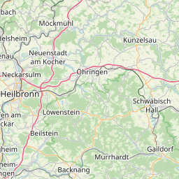
| Centre Point | 48.9919371,9.3940002 |
| OSM | way 148803467 |
| Computed Postcode | 71546 |
| Address Tags | |
| Extra Tags |
| Local name | Type | OSM | Address rank | Admin level | Distance | |
| Kapellenweg | highway:path | way 148803467 | 27 | 0 | details > | |
| Gemeindeklinge | place:isolated_dwelling | node 5347270541 | 20 | 0 | details > | |
| Allmersbach am Weinberg | place:village | way 32248135 | 16 | 0 | details > | |
| Aspach | boundary:administrative | relation 400932 | 16 | 8 | 0 | details > |
| Vereinbarte Verwaltungsgemeinschaft der Stadt Backnang | boundary:administrative | relation 1613874 | 14 | 7 | 0 | details > |
| Rems-Murr-Kreis | place:county | relation 62412 | 12 | 6 | 0 | details > |
| Regierungsbezirk Stuttgart | boundary:administrative | relation 22041 | 10 | 5 | 0 | details > |
| Baden-Württemberg | place:state | relation 62611 | 8 | 4 | 0 | details > |
| 71546 | place:postcode | 5 | 0 | |||
| 71546 | place:postcode | relation 3378274 | 5 | 0 | details > | |
| Deutschland | place:country | relation 51477 | 4 | 2 | ~3 m | details > |
| de | place:country_code | 4 | 0 | |||
Parent Of | ||||||
Building | ||||||
| No Name | building:yes | way 191722330 | 30 | ~3 m | details > | |
| No Name | building:yes | way 562037631 | 30 | ~27 m | details > | |
| No Name | building:yes | way 191722645 | 30 | ~41 m | details > | |
| No Name | building:yes | way 191722826 | 30 | ~19 m | details > | |
| No Name | building:yes | way 562037632 | 30 | ~9 m | details > | |
| No Name | building:yes | way 365279496 | 30 | ~24 m | details > | |
Place_of_worship | ||||||
| No Name | amenity:place_of_worship | way 191722951 | 30 | ~26 m | details > | |