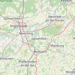
| Name | St 2232 (ref)
|
| Type | highway:secondary |
| Last Updated | 2018-12-04 06:51 |
| Admin Level | 15 |
| Rank | Street / Major Landmark |
| Importance | 0.1 (estimated) |
| Coverage | Point |
| Centre Point | 48.6156319,11.5844489 |
| OSM | way 152274095 |
| Computed Postcode | 85283 |
| Address Tags | |
| Extra Tags |
| Local name | Type | OSM | Address rank | Admin level | Distance | |
| St 2232 | highway:secondary | way 152274095 | 26 | 0 | details > | |
| Wolnzach | place:town | relation 252182 | 16 | 8 | 0 | details > |
| Irlmühle | place:hamlet | node 362143378 | 16 | 0 | details > | |
| Schwaig | place:village | node 362143688 | 16 | 0 | details > | |
| Straßhöfe | place:hamlet | node 370296317 | 16 | 0 | details > | |
| Königsfeld | place:village | node 287128445 | 16 | 0 | details > | |
| Lohwinden | place:village | node 370296314 | 16 | 0 | details > | |
| Kreithof | place:hamlet | node 370296311 | 16 | 0 | details > | |
| Kronmühle | place:hamlet | node 362155189 | 16 | 0 | details > | |
| Starzhausen | place:village | node 362155238 | 16 | 0 | details > | |
| Fahlenbach | place:village | node 364882130 | 16 | 0 | details > | |
| Burgstall | place:village | node 359832270 | 16 | 0 | details > | |
| Landkreis Pfaffenhofen an der Ilm | boundary:administrative | relation 62371 | 12 | 6 | 0 | details > |
| Obb | boundary:administrative | relation 2145274 | 10 | 5 | 0 | details > |
| Bayern | place:state | relation 2145268 | 8 | 4 | 0 | details > |
| 85283 | place:postcode | 5 | 0 | |||
| 85283 | place:postcode | relation 1096941 | 5 | 0 | details > | |
| Deutschland | place:country | relation 51477 | 4 | 2 | ~3 m | details > |
| de | place:country_code | 4 | 0 |