| Name | Bahnhofstraße (name)
|
| Type | highway:unclassified |
| Last Updated | 2018-12-04 07:45 |
| Admin Level | 15 |
| Rank | Street / Major Landmark |
| Importance | 0.1 (estimated) |
| Coverage | Point |
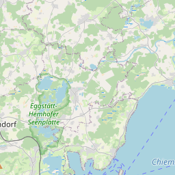
| Centre Point | 47.9771411,12.3916597 |
| OSM | way 161907040 |
| Computed Postcode | 83132 |
| Address Tags | |
| Extra Tags | 50 (maxspeed)
asphalt (surface)
|
| Local name | Type | OSM | Address rank | Admin level | Distance | |
| Bahnhofstraße | highway:unclassified | way 161907040 | 26 | 0 | details > | |
| Albertaich | place:suburb | node 4980352606 | 20 | 0 | details > | |
| Pittenhart | place:village | relation 941617 | 16 | 8 | 0 | details > |
| Obing (VGem) | boundary:administrative | relation 2985481 | 14 | 7 | 0 | details > |
| Landkreis Traunstein | boundary:administrative | relation 2156363 | 12 | 6 | 0 | details > |
| Obb | boundary:administrative | relation 2145274 | 10 | 5 | 0 | details > |
| Bayern | place:state | relation 2145268 | 8 | 4 | ~1 m | details > |
| 83132 | place:postcode | 5 | 0 | |||
| 83132 | place:postcode | relation 1114749 | 5 | 0 | details > | |
| Deutschland | place:country | relation 51477 | 4 | 2 | ~4 m | details > |
| de | place:country_code | 4 | 0 |