| Name | Buchfeldle (name)
|
| Type | landuse:residential |
| Last Updated | 2018-12-03 20:21 |
| Admin Level | 15 |
| Rank | Croft / Farm / Locality / Islet |
| Importance | 0.2 (estimated) |
| Coverage | Polygon |
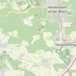
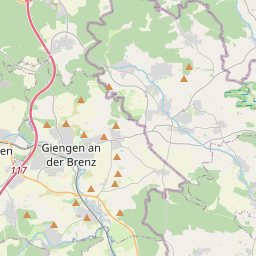
| Centre Point | 48.6311676,10.1461970332377 |
| OSM | way 163706345 |
| Computed Postcode | 89542 |
| Address Tags | |
| Extra Tags |
| Local name | Type | OSM | Address rank | Admin level | Distance | |
| Buchfeldle | landuse:residential | way 163706345 | 22 | 0 | details > | |
| Bolheim | boundary:administrative | relation 2873834 | 20 | 10 | 0 | details > |
| Bolheim | boundary:administrative | relation 3008677 | 18 | 9 | 0 | details > |
| Herbrechtingen | place:town | relation 2791216 | 16 | 8 | 0 | details > |
| Bolheim | place:village | way 494830142 | 16 | 0 | details > | |
| Landkreis Heidenheim | boundary:administrative | relation 2812850 | 12 | 6 | 0 | details > |
| Regierungsbezirk Stuttgart | boundary:administrative | relation 22041 | 10 | 5 | 0 | details > |
| Baden-Württemberg | place:state | relation 62611 | 8 | 4 | ~1 m | details > |
| 89542 | place:postcode | 5 | 0 | |||
| 89542 | place:postcode | relation 1141136 | 5 | 0 | details > | |
| Deutschland | place:country | relation 51477 | 4 | 2 | ~3 m | details > |
| de | place:country_code | 4 | 0 | |||
Parent Of | ||||||
Secondary | ||||||
| Albstraße | highway:secondary | way 213521458 | 26 | ~159 m | details > | |
Residential | ||||||
| Buchfeldweg | highway:residential | way 157689796 | 26 | ~13 m | details > | |
| Drosselweg | highway:residential | way 172450967 | 26 | ~48 m | details > | |
| Eulenweg | highway:residential | way 96945491 | 26 | ~85 m | details > | |
| Gassenäcker | highway:residential | way 174144167 | 26 | ~220 m | details > | |
| Gipfelweg | highway:residential | way 172450972 | 26 | ~289 m | details > | |
| Meisenweg | highway:residential | way 173499649 | 26 | ~79 m | details > | |
| Milanstraße | highway:residential | way 157689819 | 26 | ~136 m | details > | |
| Milanstraße | highway:residential | way 172450963 | 26 | ~154 m | details > | |
| Rottsteige | highway:residential | way 213521467 | 26 | ~145 m | details > | |
| Rottsteige | highway:residential | way 160475918 | 26 | ~118 m | details > | |
| Rottsteige | highway:residential | way 25197372 | 26 | ~127 m | details > | |
| Rottsteige | highway:residential | way 213521462 | 26 | ~149 m | details > | |
| Rottsteige | highway:residential | way 213521465 | 26 | ~145 m | details > | |
| Spechtweg | highway:residential | way 173499647 | 26 | ~186 m | details > | |
| Sperlingweg | highway:residential | way 173499650 | 26 | ~18 m | details > | |
| Stürzelstraße | highway:residential | way 224898428 | 26 | ~292 m | details > | |
| Stürzelstraße | highway:residential | way 224898430 | 26 | ~296 m | details > | |
| Stürzelstraße | highway:residential | way 157689825 | 26 | ~118 m | details > | |
| Turnstraße | highway:residential | way 213521459 | 26 | ~148 m | details > | |
| Turnstraße | highway:residential | way 157689826 | 26 | ~132 m | details > | |
| Turnstraße | highway:residential | way 213521531 | 26 | ~148 m | details > | |
| Turnstraße | highway:residential | way 213521466 | 26 | ~148 m | details > | |
Unclassified | ||||||
| Rottsteige | highway:unclassified | way 170046658 | 26 | ~134 m | details > | |
Track | ||||||
| Spechtweg | highway:track | way 172450966 | 26 | ~128 m | details > | |
Service | ||||||
| Rottsteige | highway:service | way 223660352 | 27 | ~120 m | details > | |
| Rottsteige | highway:service | way 223660949 | 27 | ~125 m | details > | |
| Rottsteige | highway:service | way 226855074 | 27 | ~191 m | details > | |
| Stürzelstraße | highway:service | way 224902472 | 27 | ~219 m | details > | |
Footway | ||||||
| Spechtweg | highway:footway | way 173499646 | 27 | ~260 m | details > | |