| Name | Westendstraße (name)
|
| Type | highway:unclassified |
| Last Updated | 2018-12-04 02:46 |
| Admin Level | 15 |
| Rank | Street / Major Landmark |
| Importance | 0.1 (estimated) |
| Coverage | Point |
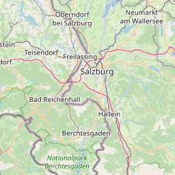
| Centre Point | 47.838289,12.9620672 |
| OSM | way 165816054 |
| Computed Postcode | 83395 |
| Address Tags | |
| Extra Tags | 50 (maxspeed)
no (oneway)
asphalt (surface)
|
| Local name | Type | OSM | Address rank | Admin level | Distance | |
| Westendstraße | highway:unclassified | way 165816054 | 26 | 0 | details > | |
| Freilassing | place:town | relation 941757 | 16 | 8 | 0 | details > |
| Oedhof | place:hamlet | node 1680068140 | 16 | 0 | details > | |
| Landkreis Berchtesgadener Land | boundary:administrative | relation 62712 | 12 | 6 | 0 | details > |
| Obb | boundary:administrative | relation 2145274 | 10 | 5 | ~1 m | details > |
| Bayern | place:state | relation 2145268 | 8 | 4 | ~2 m | details > |
| 83395 | place:postcode | 5 | 0 | |||
| 83395 | place:postcode | relation 1114652 | 5 | 0 | details > | |
| Deutschland | place:country | relation 51477 | 4 | 2 | ~4 m | details > |
| de | place:country_code | 4 | 0 | |||
Parent Of | ||||||
Police | ||||||
| Bundespolizei | amenity:police | way 581697568 | 30 | ~93 m | details > | |