| Name | Oberbüssauer Weg (name)
|
| Type | highway:secondary |
| Last Updated | 2018-12-04 08:11 |
| Admin Level | 15 |
| Rank | Street / Major Landmark |
| Importance | 0.1 (estimated) |
| Coverage | Point |
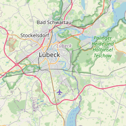
| Centre Point | 53.8399272,10.6313687 |
| OSM | way 165846458 |
| Computed Postcode | 23560 |
| Address Tags | |
| Extra Tags | 50 (maxspeed)
asphalt (surface)
|
| Local name | Type | OSM | Address rank | Admin level | Distance | |
| Oberbüssauer Weg | highway:secondary | way 165846458 | 26 | 0 | details > | |
| Alt-Moisling / Genin | boundary:administrative | relation 367859 | 20 | 10 | 0 | details > |
| Moisling | boundary:administrative | relation 367870 | 18 | 9 | 0 | details > |
| Hohenstiege | place:hamlet | node 291177716 | 16 | 0 | details > | |
| Padelügge | place:hamlet | node 293107616 | 16 | 0 | details > | |
| Lübeck | place:city | relation 27027 | 12 | 6 | 0 | details > |
| Schleswig-Holstein | place:state | relation 51529 | 8 | 4 | ~1 m | details > |
| 23560 | place:postcode | 5 | 0 | |||
| 23560 | place:postcode | relation 2335287 | 5 | 0 | details > | |
| Deutschland | place:country | relation 51477 | 4 | 2 | ~3 m | details > |
| de | place:country_code | 4 | 0 | |||
Parent Of | ||||||
Bus_stop | ||||||
| Oberbüssauer Weg | highway:bus_stop | node 411675094 | 30 | ~7 m | details > | |
Pharmacy | ||||||
| Paracelsus Apotheke | amenity:pharmacy | node 316420428 | 30 | ~33 m | details > | |