| Name | Bahnweg (name)
|
| Type | highway:residential |
| Last Updated | 2018-12-04 10:42 |
| Admin Level | 15 |
| Rank | Street / Major Landmark |
| Importance | 0.1 (estimated) |
| Coverage | Point |
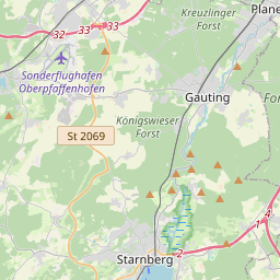
| Centre Point | 48.0710864,11.3762961 |
| OSM | way 171350239 |
| Computed Postcode | 82131 |
| Address Tags | |
| Extra Tags | destination (motor_vehicle)
asphalt (surface)
|
| Local name | Type | OSM | Address rank | Admin level | Distance | |
| Bahnweg | highway:residential | way 171350239 | 26 | 0 | details > | |
| Gauting | place:town | relation 932494 | 16 | 8 | 0 | details > |
| Landkreis Starnberg | boundary:administrative | relation 62458 | 12 | 6 | 0 | details > |
| Obb | boundary:administrative | relation 2145274 | 10 | 5 | 0 | details > |
| Bayern | place:state | relation 2145268 | 8 | 4 | 0 | details > |
| 82131 | place:postcode | 5 | 0 | |||
| 82131 | place:postcode | relation 1104731 | 5 | 0 | details > | |
| Deutschland | place:country | relation 51477 | 4 | 2 | ~3 m | details > |
| de | place:country_code | 4 | 0 | |||
Parent Of | ||||||
Building | ||||||
| No Name | building:yes | way 124185621 | 30 | ~9 m | details > | |
Bicycle_parking | ||||||
| No Name | amenity:bicycle_parking | way 242466658 | 30 | ~2 m | details > | |