| Name | Friedhofstraße (name)
|
| Type | highway:service |
| Last Updated | 2018-12-05 14:50 |
| Admin Level | 15 |
| Rank | Minory Street / Path |
| Importance | 0.075 (estimated) |
| Coverage | Point |
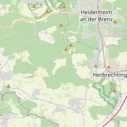
| Centre Point | 48.6329968,10.1523703 |
| OSM | way 174346638 |
| Computed Postcode | 89542 |
| Address Tags | |
| Extra Tags | 30 (maxspeed)
destination (motor_vehicle)
|
| Local name | Type | OSM | Address rank | Admin level | Distance | |
| Friedhofstraße | highway:service | way 174346638 | 27 | 0 | details > | |
| Fischerviertel | landuse:residential | way 163706344 | 22 | 0 | details > | |
| Ortsmitte | landuse:residential | way 163706341 | 22 | 0 | details > | |
| Bolheim | boundary:administrative | relation 2873834 | 20 | 10 | 0 | details > |
| Bolheim | boundary:administrative | relation 3008677 | 18 | 9 | 0 | details > |
| Bolheim | place:village | way 494830142 | 16 | 0 | details > | |
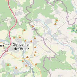
| Herbrechtingen | place:town | relation 2791216 | 16 | 8 | 0 | details > |
| Landkreis Heidenheim | boundary:administrative | relation 2812850 | 12 | 6 | 0 | details > |
| Regierungsbezirk Stuttgart | boundary:administrative | relation 22041 | 10 | 5 | 0 | details > |
| Baden-Württemberg | place:state | relation 62611 | 8 | 4 | ~1 m | details > |
| 89542 | place:postcode | 5 | 0 | |||
| 89542 | place:postcode | relation 1141136 | 5 | 0 | details > | |
| Deutschland | place:country | relation 51477 | 4 | 2 | ~3 m | details > |
| de | place:country_code | 4 | 0 | |||
Parent Of | ||||||
Building | ||||||
| No Name | building:yes | way 226407222 | 30 | ~12 m | details > | |
| No Name | building:yes | way 282445993 | 30 | ~18 m | details > | |
| No Name | building:yes | way 226407248 | 30 | ~23 m | details > | |