| Name | Zwinger (name)
|
| Type | highway:path |
| Last Updated | 2018-12-05 13:54 |
| Admin Level | 15 |
| Rank | Minory Street / Path |
| Importance | 0.075 (estimated) |
| Coverage | Point |
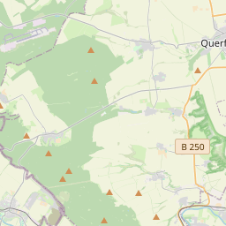
| Centre Point | 51.2776224,11.4677671 |
| OSM | way 174763858 |
| Computed Postcode | 06642 |
| Address Tags | |
| Extra Tags | yes (foot)
|
| Local name | Type | OSM | Address rank | Admin level | Distance | |
| Zwinger | highway:path | way 174763858 | 27 | 0 | details > | |
| Wendelstein | place:suburb | relation 2341590 | 20 | 0 | details > | |
| Memleben | place:suburb | relation 2354397 | 20 | 10 | 0 | details > |
| Kaiserpfalz | place:village | relation 2354399 | 16 | 8 | 0 | details > |
| An der Finne | boundary:administrative | relation 2402523 | 14 | 7 | 0 | details > |
| Burgenlandkreis | place:county | relation 62639 | 12 | 6 | 0 | details > |
| Sachsen-Anhalt | place:state | relation 62607 | 8 | 4 | 0 | details > |
| 06642 | place:postcode | 5 | 0 | |||
| 06642 | place:postcode | relation 2402427 | 5 | 0 | details > | |
| Deutschland | place:country | relation 51477 | 4 | 2 | ~1 m | details > |
| de | place:country_code | 4 | 0 | |||
Parent Of | ||||||
Castle | ||||||
| Burg Wendelstein | historic:castle | relation 2341574 | 30 | ~30 m | details > | |
Place_of_worship | ||||||
| Burgkapelle | amenity:place_of_worship | relation 2372902 | 30 | ~37 m | details > | |
Information | ||||||
| Die Geschicht des Wendelstein | tourism:information | node 1854293088 | 30 | ~59 m | details > | |
| No Name | tourism:information | node 3851785596 | 30 | ~46 m | details > | |
Building | ||||||
| Felsturm mit Bastion | building:yes | relation 2341575 | 30 | ~54 m | details > | |
| Kornhaus | building:yes | relation 2341583 | 30 | ~41 m | details > | |
Bench | ||||||
| No Name | amenity:bench | node 1881773141 | 30 | ~14 m | details > | |
| No Name | amenity:bench | node 1881773140 | 30 | ~25 m | details > | |