| Name | |
| Type | highway:unclassified |
| Last Updated | 2018-12-04 06:48 |
| Admin Level | 15 |
| Rank | Street / Major Landmark |
| Importance | 0.1 (estimated) |
| Coverage | Point |
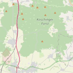
| Centre Point | 48.8154395,11.5064805 |
| OSM | way 202844427 |
| Computed Postcode | 85092 |
| Address Tags | |
| Extra Tags | emergency (access)
yes (oneway)
no (vehicle)
|
| Local name | Type | OSM | Address rank | Admin level | Distance | |
| No Name | highway:unclassified | way 202844427 | 26 | 0 | details > | |
| Kösching | place:village | relation 943540 | 16 | 8 | 0 | details > |
| Landkreis Eichstätt | boundary:administrative | relation 62684 | 12 | 6 | 0 | details > |
| Obb | boundary:administrative | relation 2145274 | 10 | 5 | 0 | details > |
| Bayern | place:state | relation 2145268 | 8 | 4 | 0 | details > |
| 85092 | place:postcode | 5 | 0 | |||
| 85092 | place:postcode | relation 1099998 | 5 | 0 | details > | |
| Deutschland | place:country | relation 51477 | 4 | 2 | ~3 m | details > |
| de | place:country_code | 4 | 0 |