| Name | |
| Type | highway:unclassified |
| Last Updated | 2018-12-04 07:40 |
| Admin Level | 15 |
| Rank | Street / Major Landmark |
| Importance | 0.1 (estimated) |
| Coverage | Point |
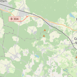
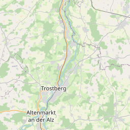
| Centre Point | 48.0628052,12.1338312 |
| OSM | way 217312886 |
| Computed Postcode | 83533 |
| Address Tags | |
| Extra Tags | compacted (surface)
|
| Local name | Type | OSM | Address rank | Admin level | Distance | |
| No Name | highway:unclassified | way 217312886 | 26 | 0 | details > | |
| Nodern | place:isolated_dwelling | node 3721599319 | 20 | 0 | details > | |
| Fudersöd | place:isolated_dwelling | node 3722016446 | 20 | 0 | details > | |
| Etz | place:isolated_dwelling | node 3722016443 | 20 | 0 | details > | |
| Schachaweber | place:isolated_dwelling | node 3722016486 | 20 | 0 | details > | |
| Leiten | place:isolated_dwelling | node 3721291650 | 20 | 0 | details > | |
| Kottersberg | place:isolated_dwelling | node 1341315822 | 20 | 0 | details > | |
| Eglsee | place:isolated_dwelling | node 3722016442 | 20 | 0 | details > | |
| Buchleiten | place:isolated_dwelling | node 3721599315 | 20 | 0 | details > | |
| Edling | place:village | relation 2186917 | 16 | 8 | 0 | details > |
| Zeil | place:hamlet | node 2475814725 | 16 | 0 | details > | |
| Wolfram | place:hamlet | node 2475814720 | 16 | 0 | details > | |
| Giglberg | place:hamlet | node 2475812714 | 16 | 0 | details > | |
| Pfaffing | place:village | relation 2186931 | 16 | 8 | 0 | details > |
| Pfaffing (VGem) | boundary:administrative | relation 2985875 | 14 | 7 | 0 | details > |
| Landkreis Rosenheim | place:county | relation 2156362 | 12 | 6 | 0 | details > |
| Obb | boundary:administrative | relation 2145274 | 10 | 5 | 0 | details > |
| Bayern | place:state | relation 2145268 | 8 | 4 | ~1 m | details > |
| 83533 | place:postcode | 5 | 0 | |||
| 83539 | place:postcode | relation 1114556 | 5 | 0 | details > | |
| 83533 | place:postcode | relation 1114578 | 5 | 0 | details > | |
| Deutschland | place:country | relation 51477 | 4 | 2 | ~4 m | details > |
| de | place:country_code | 4 | 0 |