| Name | Elisabeth-Kallenberg-Platz (name)
|
| Type | highway:service |
| Last Updated | 2018-12-05 15:37 |
| Admin Level | 15 |
| Rank | Minory Street / Path |
| Importance | 0.075 (estimated) |
| Coverage | Point |
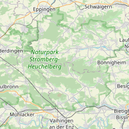
| Centre Point | 48.9075895,9.1043104 |
| OSM | way 218543121 |
| Computed Postcode | 71706 |
| Address Tags | |
| Extra Tags | 5 (maxspeed)
|
| Local name | Type | OSM | Address rank | Admin level | Distance | |
| Elisabeth-Kallenberg-Platz | highway:service | way 218543121 | 27 | 0 | details > | |
| Ölmühle | place:isolated_dwelling | node 4081909743 | 20 | 0 | details > | |
| Hurst | place:isolated_dwelling | node 2502004658 | 20 | 0 | details > | |
| Markgröningen | place:town | relation 405841 | 16 | 8 | 0 | details > |
| Landesheim | place:hamlet | node 2502004659 | 16 | 0 | details > | |
| Landkreis Ludwigsburg | boundary:administrative | relation 62536 | 12 | 6 | 0 | details > |
| Regierungsbezirk Stuttgart | boundary:administrative | relation 22041 | 10 | 5 | 0 | details > |
| Baden-Württemberg | place:state | relation 62611 | 8 | 4 | 0 | details > |
| 71706 | place:postcode | 5 | 0 | |||
| 71706 | place:postcode | relation 3364447 | 5 | 0 | details > | |
| Deutschland | place:country | relation 51477 | 4 | 2 | ~3 m | details > |
| de | place:country_code | 4 | 0 | |||
Parent Of | ||||||
School | ||||||
| A.H. Werner-Schule | amenity:school | way 449713549 | 30 | ~24 m | details > | |
Social_facility | ||||||
| MBZ Markgröningen | amenity:social_facility | node 4457595525 | 30 | ~54 m | details > | |
Bus_stop | ||||||
| Schulbus | highway:bus_stop | node 295975179 | 30 | ~28 m | details > | |
Building | ||||||
| No Name | building:yes | way 218560951 | 30 | ~21 m | details > | |
| No Name | building:yes | way 218560952 | 30 | ~67 m | details > | |
| No Name | building:yes | way 218563664 | 30 | ~93 m | details > | |
Parking | ||||||
| No Name | amenity:parking | way 449713548 | 30 | ~15 m | details > | |