| Name | Am Strehler (name)
|
| Type | highway:unclassified |
| Last Updated | 2018-12-04 13:54 |
| Admin Level | 15 |
| Rank | Street / Major Landmark |
| Importance | 0.1 (estimated) |
| Coverage | Point |
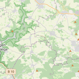
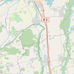
| Centre Point | 48.6847656,10.4427892 |
| OSM | way 228276548 |
| Computed Postcode | 89561 |
| Address Tags | |
| Extra Tags | 6 (maxweight)
3.0 (width)
|
| Local name | Type | OSM | Address rank | Admin level | Distance | |
| Am Strehler | highway:unclassified | way 228276548 | 26 | 0 | details > | |
| Duttenstein | place:isolated_dwelling | node 5169797190 | 20 | 0 | details > | |
| Dischingen | place:village | relation 2826521 | 16 | 8 | 0 | details > |
| Wagenhofen | place:hamlet | node 2677581197 | 16 | 0 | details > | |
| Demmingen | place:village | node 2369286594 | 16 | 0 | details > | |
| Landkreis Heidenheim | boundary:administrative | relation 2812850 | 12 | 6 | 0 | details > |
| Regierungsbezirk Stuttgart | boundary:administrative | relation 22041 | 10 | 5 | 0 | details > |
| Baden-Württemberg | place:state | relation 62611 | 8 | 4 | ~1 m | details > |
| 89561 | place:postcode | 5 | 0 | |||
| 89561 | place:postcode | relation 1141135 | 5 | 0 | details > | |
| Deutschland | place:country | relation 51477 | 4 | 2 | ~3 m | details > |
| de | place:country_code | 4 | 0 | |||
Parent Of | ||||||
Hunting_stand | ||||||
| No Name | amenity:hunting_stand | node 1949496020 | 30 | ~541 m | details > | |