| Name | Eichbergstraße (name)
|
| Type | highway:unclassified |
| Last Updated | 2018-12-04 02:43 |
| Admin Level | 15 |
| Rank | Street / Major Landmark |
| Importance | 0.1 (estimated) |
| Coverage | Point |
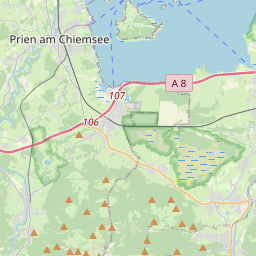
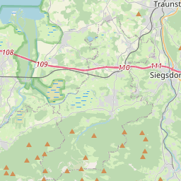
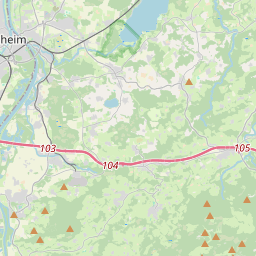
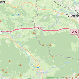
| Centre Point | 47.8300529,12.5460065 |
| OSM | way 238785386 |
| Computed Postcode | 83355 |
| Address Tags | |
| Extra Tags | 100 (maxspeed)
concrete (surface)
|
| Local name | Type | OSM | Address rank | Admin level | Distance | |
| Eichbergstraße | highway:unclassified | way 238785386 | 26 | 0 | details > | |
| Grabenstätt | place:village | relation 941739 | 16 | 8 | 0 | details > |
| Gutharting | place:hamlet | node 1313549153 | 16 | 0 | details > | |
| Schneereut | place:hamlet | node 448598890 | 16 | 0 | details > | |
| Hachsenöst | place:hamlet | node 1313557973 | 16 | 0 | details > | |
| Fernbichl | place:hamlet | node 452868584 | 16 | 0 | details > | |
| Wimm | place:hamlet | node 3393136752 | 16 | 0 | details > | |
| Oberaschau | place:hamlet | node 3393061507 | 16 | 0 | details > | |
| Unteraschau | place:hamlet | node 3393061508 | 16 | 0 | details > | |
| Kalsperg | place:hamlet | node 448600700 | 16 | 0 | details > | |
| Landkreis Traunstein | boundary:administrative | relation 2156363 | 12 | 6 | 0 | details > |
| Obb | boundary:administrative | relation 2145274 | 10 | 5 | 0 | details > |
| Bayern | place:state | relation 2145268 | 8 | 4 | ~2 m | details > |
| 83355 | place:postcode | 5 | 0 | |||
| 83355 | place:postcode | relation 1114753 | 5 | 0 | details > | |
| Deutschland | place:country | relation 51477 | 4 | 2 | ~4 m | details > |
| de | place:country_code | 4 | 0 |