| Name | Hans-Schaller-Steig (name)
|
| Type | highway:path |
| Last Updated | 2018-12-05 14:11 |
| Admin Level | 15 |
| Rank | Minory Street / Path |
| Importance | 0.075 (estimated) |
| Coverage | Point |
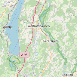
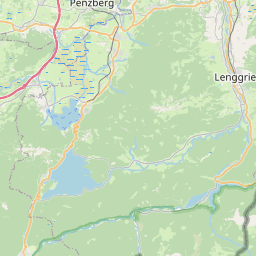
| Centre Point | 47.8151359,11.4771947 |
| OSM | way 245113090 |
| Computed Postcode | 82549 |
| Address Tags | |
| Extra Tags | asphalt (surface)
|
| Local name | Type | OSM | Address rank | Admin level | Distance | |
| Hans-Schaller-Steig | highway:path | way 245113090 | 27 | 0 | details > | |
| Stein | place:suburb | node 59630397 | 20 | 0 | details > | |
| Königsdorf | place:village | relation 3313985 | 16 | 0 | details > | |
| Landkreis Bad Tölz-Wolfratshausen | boundary:administrative | relation 62472 | 12 | 6 | 0 | details > |
| Obb | boundary:administrative | relation 2145274 | 10 | 5 | 0 | details > |
| Bayern | place:state | relation 2145268 | 8 | 4 | ~1 m | details > |
| 82549 | place:postcode | 5 | 0 | |||
| 82549 | place:postcode | relation 1109140 | 5 | 0 | details > | |
| Deutschland | place:country | relation 51477 | 4 | 2 | ~4 m | details > |
| de | place:country_code | 4 | 0 |