| Name | |
| Type | highway:unclassified |
| Last Updated | 2018-12-05 02:41 |
| Admin Level | 15 |
| Rank | Street / Major Landmark |
| Importance | 0.1 (estimated) |
| Coverage | Point |
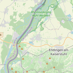
| Centre Point | 48.1027987,7.6473816 |
| OSM | way 247342619 |
| Computed Postcode | 79235 |
| Address Tags | |
| Extra Tags | agricultural (motor_vehicle)
paved (surface)
|
| Local name | Type | OSM | Address rank | Admin level | Distance | |
| No Name | highway:unclassified | way 247342619 | 26 | 0 | details > | |
| Kapellenmattenhöfe | place:isolated_dwelling | node 2789352268 | 20 | 0 | details > | |
| Oberbergen | place:village | relation 70175 | 18 | 9 | 0 | details > |
| Vogtsburg im Kaiserstuhl | place:municipality | relation 70147 | 16 | 8 | 0 | details > |
| Landkreis Breisgau-Hochschwarzwald | boundary:administrative | relation 1946367 | 12 | 6 | 0 | details > |
| Regierungsbezirk Freiburg | boundary:administrative | relation 2106112 | 10 | 5 | 0 | details > |
| Baden-Württemberg | place:state | relation 62611 | 8 | 4 | ~1 m | details > |
| 79235 | place:postcode | 5 | 0 | |||
| 79235 | place:postcode | relation 3372411 | 5 | 0 | details > | |
| Deutschland | place:country | relation 51477 | 4 | 2 | ~4 m | details > |
| de | place:country_code | 4 | 0 |