| Name | Johannesstraße (name)
Johannesstraße (name:de)
St 2225 (ref)
|
| Type | highway:secondary |
| Last Updated | 2018-12-04 10:07 |
| Admin Level | 15 |
| Rank | Street / Major Landmark |
| Importance | 0.1 (estimated) |
| Coverage | Point |
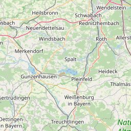
| Centre Point | 49.0176919,11.2220661 |
| OSM | way 257935958 |
| Computed Postcode | 85135 |
| Address Tags | |
| Extra Tags | 50 (maxspeed)
|
| Local name | Type | OSM | Address rank | Admin level | Distance | |
| Johannesstraße | highway:secondary | way 257935958 | 26 | 0 | details > | |
| Erzwäsche | place:isolated_dwelling | node 2312176635 | 20 | 0 | details > | |
| Titting | place:village | relation 943549 | 16 | 8 | 0 | details > |
| Mantlach | place:village | node 302350680 | 16 | 0 | details > | |
| Landkreis Eichstätt | boundary:administrative | relation 62684 | 12 | 6 | 0 | details > |
| Obb | boundary:administrative | relation 2145274 | 10 | 5 | ~1 m | details > |
| Bayern | place:state | relation 2145268 | 8 | 4 | 0 | details > |
| 85135 | place:postcode | 5 | 0 | |||
| 85135 | place:postcode | relation 1100019 | 5 | 0 | details > | |
| Deutschland | place:country | relation 51477 | 4 | 2 | ~2 m | details > |
| de | place:country_code | 4 | 0 | |||
Parent Of | ||||||
Fire_station | ||||||
| Feuerwehr Mantlach | amenity:fire_station | node 2475797197 | 30 | ~44 m | details > | |
House | ||||||
| No Name | place:house | node 4084015802 | 30 | ~27 m | details > | |
| No Name | place:house | node 4432253845 | 30 | ~24 m | details > | |