| Name | |
| Type | highway:unclassified |
| Last Updated | 2018-12-04 13:52 |
| Admin Level | 15 |
| Rank | Street / Major Landmark |
| Importance | 0.1 (estimated) |
| Coverage | Point |
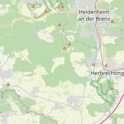
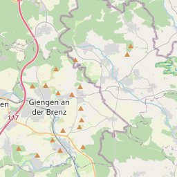
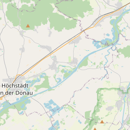
| Centre Point | 48.6396271,10.166532 |
| OSM | way 270176676 |
| Computed Postcode | 89542 |
| Address Tags | |
| Extra Tags | no (access)
asphalt (surface)
|
| Local name | Type | OSM | Address rank | Admin level | Distance | |
| No Name | highway:unclassified | way 270176676 | 26 | 0 | details > | |
| Bolheim | boundary:administrative | relation 2873834 | 20 | 10 | 0 | details > |
| Bolheim | boundary:administrative | relation 3008677 | 18 | 9 | 0 | details > |
| Herbrechtingen | place:town | relation 2791216 | 16 | 8 | 0 | details > |
| Landkreis Heidenheim | boundary:administrative | relation 2812850 | 12 | 6 | 0 | details > |
| Regierungsbezirk Stuttgart | boundary:administrative | relation 22041 | 10 | 5 | 0 | details > |
| Baden-Württemberg | place:state | relation 62611 | 8 | 4 | ~1 m | details > |
| 89542 | place:postcode | 5 | 0 | |||
| 89542 | place:postcode | relation 1141136 | 5 | 0 | details > | |
| Deutschland | place:country | relation 51477 | 4 | 2 | ~3 m | details > |
| de | place:country_code | 4 | 0 |