| Name | B 29 (ref)
|
| Type | highway:trunk |
| Last Updated | 2018-12-04 18:12 |
| Admin Level | 15 |
| Rank | Street / Major Landmark |
| Importance | 0.1 (estimated) |
| Coverage | Point |
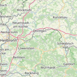
| Centre Point | 48.8144909,9.409031 |
| OSM | way 281675889 |
| Computed Postcode | 73630 |
| Address Tags | |
| Extra Tags | 3 (lanes)
120 (maxspeed)
yes (oneway)
yes (toll:N3)
|
| Local name | Type | OSM | Address rank | Admin level | Distance | |
| B 29 | highway:trunk | way 281675889 | 26 | 0 | details > | |
| Großheppach | place:suburb | node 28982721 | 20 | 0 | details > | |
| Beutelsbach | place:suburb | node 272393590 | 20 | 0 | details > | |
| Schnait | place:suburb | node 29917930 | 20 | 0 | details > | |
| Remshalden | place:municipality | relation 401645 | 16 | 8 | 0 | details > |
| Grunbach | place:village | node 1671660351 | 16 | 0 | details > | |
| Rems-Murr-Kreis | place:county | relation 62412 | 12 | 6 | 0 | details > |
| Regierungsbezirk Stuttgart | boundary:administrative | relation 22041 | 10 | 5 | 0 | details > |
| Baden-Württemberg | place:state | relation 62611 | 8 | 4 | 0 | details > |
| 73630 | place:postcode | 5 | 0 | |||
| 73630 | place:postcode | relation 3377339 | 5 | 0 | details > | |
| Deutschland | place:country | relation 51477 | 4 | 2 | ~3 m | details > |
| de | place:country_code | 4 | 0 | |||
Parent Of | ||||||
Motorway_junction | ||||||
| Remshalden-West | highway:motorway_junction | node 27331657 | 30 | ~89 m | details > | |
Bridge | ||||||
| No Name | man_made:bridge | way 483914619 | 30 | ~58 m | details > | |