| Name | Westring (name)
|
| Type | highway:path |
| Last Updated | 2018-12-05 13:12 |
| Admin Level | 15 |
| Rank | Minory Street / Path |
| Importance | 0.075 (estimated) |
| Coverage | Point |
| Centre Point | 52.1189166,11.6065995 |
| OSM | way 291890900 |
| Computed Postcode | 39112 |
| Address Tags | |
| Extra Tags | designated (foot)
yes (oneway)
good (smoothness)
asphalt (surface)
|
| Local name | Type | OSM | Address rank | Admin level | Distance | |
| Westring | highway:path | way 291890900 | 27 | 0 | details > | |
| Stadtfeld Ost | place:suburb | relation 78791 | 20 | 10 | 0 | details > |
| Sudenburg | place:suburb | relation 78810 | 20 | 10 | 0 | details > |
| Klein Ottersleben | place:hamlet | node 314292962 | 16 | 0 | details > | |
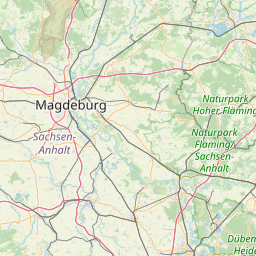
| Magdeburg | place:city | relation 62481 | 12 | 6 | 0 | details > |
| Sachsen-Anhalt | place:state | relation 62607 | 8 | 4 | 0 | details > |
| 39112 | place:postcode | 5 | 0 | |||
| 39112 | place:postcode | relation 3258795 | 5 | 0 | details > | |
| 39108 | place:postcode | relation 3255756 | 5 | 0 | details > | |
| Deutschland | place:country | relation 51477 | 4 | 2 | ~1 m | details > |
| de | place:country_code | 4 | 0 | |||
Parent Of | ||||||
Street_lamp | ||||||
| No Name | highway:street_lamp | node 4615977106 | 30 | ~19 m | details > | |
| No Name | highway:street_lamp | node 4615977109 | 30 | ~88 m | details > | |
| No Name | highway:street_lamp | node 4615977108 | 30 | ~54 m | details > | |