| Name | Locksteinstraße (name)
Locksteinstraße (name:de)
St 2100 (ref)
|
| Type | highway:secondary |
| Last Updated | 2018-12-04 02:41 |
| Admin Level | 15 |
| Rank | Street / Major Landmark |
| Importance | 0.1 (estimated) |
| Coverage | Point |
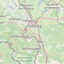
| Centre Point | 47.6412659,13.0017573 |
| OSM | way 333104012 |
| Computed Postcode | 83471 |
| Address Tags | |
| Extra Tags | delivery (hgv)
2 (lanes)
50 (maxspeed)
no (oneway)
asphalt (surface)
|
| Local name | Type | OSM | Address rank | Admin level | Distance | |
| Locksteinstraße | highway:secondary | way 333104012 | 26 | 0 | details > | |
| Hundsreit | place:isolated_dwelling | node 5186088454 | 20 | 0 | details > | |
| Hundsmühle | place:isolated_dwelling | node 5186088455 | 20 | 0 | details > | |
| Berchtesgaden | place:town | relation 941837 | 16 | 8 | 0 | details > |
| Anzenbach | place:hamlet | node 254037464 | 16 | 0 | details > | |
| Maria Gern | place:hamlet | node 254037461 | 16 | 0 | details > | |
| Marxen | place:hamlet | node 512107267 | 16 | 0 | details > | |
| Landkreis Berchtesgadener Land | boundary:administrative | relation 62712 | 12 | 6 | 0 | details > |
| Obb | boundary:administrative | relation 2145274 | 10 | 5 | ~1 m | details > |
| Bayern | place:state | relation 2145268 | 8 | 4 | ~2 m | details > |
| 83471 | place:postcode | 5 | 0 | |||
| 83471 | place:postcode | relation 1114643 | 5 | 0 | details > | |
| Deutschland | place:country | relation 51477 | 4 | 2 | ~5 m | details > |
| de | place:country_code | 4 | 0 | |||
Parent Of | ||||||
Bus_stop | ||||||
| Rosenhof | highway:bus_stop | node 1811413312 | 30 | ~35 m | details > | |