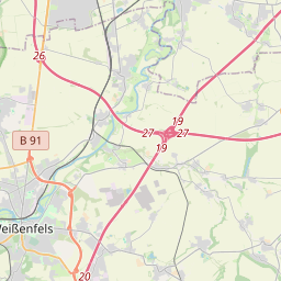
| Name | Steinbacher Straße (name)
Steinbacher Straße (name:de)
B 250 (nat_ref)
B 250 (ref)
|
| Type | highway:primary |
| Last Updated | 2018-12-04 04:40 |
| Admin Level | 15 |
| Rank | Street / Major Landmark |
| Importance | 0.1 (estimated) |
| Coverage | Point |
| Centre Point | 51.2038676,11.58095 |
| OSM | way 373442721 |
| Computed Postcode | 06647 |
| Address Tags | |
| Extra Tags | 2 (lanes)
50 (maxspeed)
no (oneway)
|
| Local name | Type | OSM | Address rank | Admin level | Distance | |
| Steinbacher Straße | highway:primary | way 373442721 | 26 | 0 | details > | |
| Bad Bibra | place:town | relation 2402429 | 16 | 8 | 0 | details > |
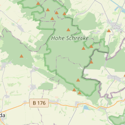
| An der Finne | boundary:administrative | relation 2402523 | 14 | 7 | 0 | details > |
| Burgenlandkreis | place:county | relation 62639 | 12 | 6 | 0 | details > |
| Sachsen-Anhalt | place:state | relation 62607 | 8 | 4 | 0 | details > |
| 06647 | place:postcode | 5 | 0 | |||
| 06647 | place:postcode | relation 2403532 | 5 | 0 | details > | |
| Deutschland | place:country | relation 51477 | 4 | 2 | ~1 m | details > |
| de | place:country_code | 4 | 0 | |||
Parent Of | ||||||
Disused | ||||||
| Finnebahn | railway:disused | way 334872250 | 30 | ~58 m | details > | |
Railway | ||||||
| Finnebahn | historic:railway | way 334872250 | 30 | ~58 m | details > | |
Information | ||||||
| Rödchen-Gipsberg | tourism:information | node 1945815889 | 30 | ~374 m | details > | |
Kindergarten | ||||||
| No Name | amenity:kindergarten | node 1765159479 | 30 | ~27 m | details > | |