| Name | RAG Ampfing 1 (name)
|
| Type | landuse:industrial |
| Last Updated | 2018-12-03 19:54 |
| Admin Level | 15 |
| Rank | Croft / Farm / Locality / Islet |
| Importance | 0.2 (estimated) |
| Coverage | Polygon |
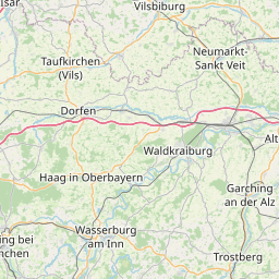
| Centre Point | 48.2450852,12.4322561022885 |
| OSM | way 447379353 |
| Computed Postcode | 84539 |
| Address Tags | |
| Extra Tags | private (access)
Bohrplatz Erkundungsbohrung auf Erdöl (description)
|
| Local name | Type | OSM | Address rank | Admin level | Distance | |
| RAG Ampfing 1 | landuse:industrial | way 447379353 | 22 | 0 | details > | |
| Fisching | place:isolated_dwelling | node 2377714437 | 20 | 0 | details > | |
| Ampfing | place:village | relation 941001 | 16 | 8 | 0 | details > |
| Holzgasse | place:hamlet | node 2378751904 | 16 | 0 | details > | |
| Neufahrn | place:hamlet | node 513104143 | 16 | 0 | details > | |
| Reit | place:hamlet | node 2378751909 | 16 | 0 | details > | |
| Holzheim | place:hamlet | node 513104144 | 16 | 0 | details > | |
| Notzen | place:hamlet | node 717659288 | 16 | 0 | details > | |
| Neuhaus | place:hamlet | node 2378751908 | 16 | 0 | details > | |
| Landkreis Mühldorf am Inn | place:county | relation 2168232 | 12 | 6 | 0 | details > |
| Obb | boundary:administrative | relation 2145274 | 10 | 5 | 0 | details > |
| Bayern | place:state | relation 2145268 | 8 | 4 | ~1 m | details > |
| 84539 | place:postcode | 5 | 0 | |||
| 84539 | place:postcode | relation 1114144 | 5 | 0 | details > | |
| Deutschland | place:country | relation 51477 | 4 | 2 | ~4 m | details > |
| de | place:country_code | 4 | 0 |