| Name | |
| Type | highway:bus_stop |
| Last Updated | 2018-12-04 02:39 |
| Admin Level | 15 |
| Rank | Street / Major Landmark |
| Importance | 0.1 (estimated) |
| Coverage | Polygon |
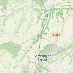
| Centre Point | 48.13073985,12.5725921105022 |
| OSM | way 453677820 |
| Computed Postcode | 84518 |
| Address Tags | |
| Extra Tags | Garching (Alz), Bahnhof, Bussteig (description)
yes (wheelchair)
|
| Local name | Type | OSM | Address rank | Admin level | Distance | |
| No Name | highway:bus_stop | way 453677820 | 26 | 0 | details > | |
| Oberlehen | place:isolated_dwelling | node 2278801253 | 20 | 0 | details > | |
| Schillmaier | place:isolated_dwelling | node 2278799644 | 20 | 0 | details > | |
| Streitner | place:isolated_dwelling | node 2278803175 | 20 | 0 | details > | |
| Bock | place:isolated_dwelling | node 4818411061 | 20 | 0 | details > | |
| Garching an der Alz | place:village | relation 942046 | 16 | 8 | 0 | details > |
| Landkreis Altötting | boundary:administrative | relation 62663 | 12 | 6 | 0 | details > |
| Obb | boundary:administrative | relation 2145274 | 10 | 5 | 0 | details > |
| Bayern | place:state | relation 2145268 | 8 | 4 | ~1 m | details > |
| 84518 | place:postcode | 5 | 0 | |||
| 84518 | place:postcode | relation 1120217 | 5 | 0 | details > | |
| Deutschland | place:country | relation 51477 | 4 | 2 | ~4 m | details > |
| de | place:country_code | 4 | 0 |