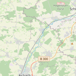
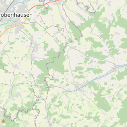
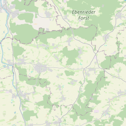
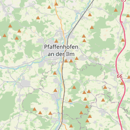
| Name | St 2050 (ref)
|
| Type | highway:secondary |
| Last Updated | 2018-12-04 10:34 |
| Admin Level | 15 |
| Rank | Street / Major Landmark |
| Importance | 0.1 (estimated) |
| Coverage | Point |
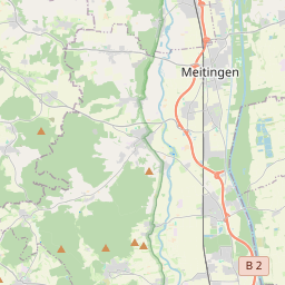
| Centre Point | 48.4834233,11.3108923 |
| OSM | way 531319788 |
| Computed Postcode | 86561 |
| Address Tags | |
| Extra Tags | 100 (maxspeed)
|
| Local name | Type | OSM | Address rank | Admin level | Distance | |
| St 2050 | highway:secondary | way 531319788 | 26 | 0 | details > | |
| Aresing | place:village | relation 943712 | 16 | 8 | 0 | details > |
| Gütersberg | place:hamlet | node 347074029 | 16 | 0 | details > | |
| Weilerau | place:hamlet | node 299848620 | 16 | 0 | details > | |
| Labersdorf | place:hamlet | node 984272292 | 16 | 0 | details > | |
| Kollaich | place:hamlet | node 122053484 | 16 | 0 | details > | |
| Junkenhofen | place:village | node 122051410 | 16 | 0 | details > | |
| Arnsried | place:hamlet | node 299847756 | 16 | 0 | details > | |
| Pitzlhof | place:hamlet | node 321234183 | 16 | 0 | details > | |
| Oberweilenbach | place:village | node 311416404 | 16 | 0 | details > | |
| Ankertshausen | place:hamlet | node 549287053 | 16 | 0 | details > | |
| Voglhof | place:hamlet | node 321231430 | 16 | 0 | details > | |
| Gerolsbach | place:village | relation 391272 | 16 | 8 | 0 | details > |
| Duckenried | place:hamlet | node 321234380 | 16 | 0 | details > | |
| Klenau | place:village | node 347074851 | 16 | 0 | details > | |
| Landkreis Neuburg-Schrobenhausen | boundary:administrative | relation 62655 | 12 | 6 | 0 | details > |
| Landkreis Pfaffenhofen an der Ilm | boundary:administrative | relation 62371 | 12 | 6 | 0 | details > |
| Obb | boundary:administrative | relation 2145274 | 10 | 5 | 0 | details > |
| Bayern | place:state | relation 2145268 | 8 | 4 | 0 | details > |
| 86561 | place:postcode | 5 | 0 | |||
| 85302 | place:postcode | relation 1096940 | 5 | 0 | details > | |
| 86561 | place:postcode | relation 1115454 | 5 | 0 | details > | |
| Deutschland | place:country | relation 51477 | 4 | 2 | ~3 m | details > |
| de | place:country_code | 4 | 0 |