| Name | St 2027 (ref)
|
| Type | highway:secondary |
| Last Updated | 2018-12-04 10:01 |
| Admin Level | 15 |
| Rank | Street / Major Landmark |
| Importance | 0.1 (estimated) |
| Coverage | Point |
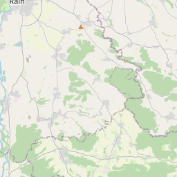
| Centre Point | 48.6665353,11.0245393 |
| OSM | way 540195307 |
| Computed Postcode | 86666 |
| Address Tags | |
| Extra Tags | 100 (maxspeed)
|
| Local name | Type | OSM | Address rank | Admin level | Distance | |
| St 2027 | highway:secondary | way 540195307 | 26 | 0 | details > | |
| Burgheim | place:village | relation 943668 | 16 | 8 | 0 | details > |
| Wengen | place:village | node 402281076 | 16 | 0 | details > | |
| Eschling | place:village | node 402281457 | 16 | 0 | details > | |
| Hirst | place:hamlet | node 569657017 | 16 | 0 | details > | |
| Landkreis Neuburg-Schrobenhausen | boundary:administrative | relation 62655 | 12 | 6 | 0 | details > |
| Obb | boundary:administrative | relation 2145274 | 10 | 5 | 0 | details > |
| Bayern | place:state | relation 2145268 | 8 | 4 | 0 | details > |
| 86666 | place:postcode | 5 | 0 | |||
| 86666 | place:postcode | relation 1142092 | 5 | 0 | details > | |
| Deutschland | place:country | relation 51477 | 4 | 2 | ~3 m | details > |
| de | place:country_code | 4 | 0 | |||
Parent Of | ||||||
Bus_stop | ||||||
| Eschling | highway:bus_stop | node 5226498546 | 30 | ~364 m | details > | |
Place_of_worship | ||||||
| St. Johannes Ev. | amenity:place_of_worship | way 270597681 | 30 | ~188 m | details > | |