| Name | K 7948 (ref)
|
| Type | highway:tertiary |
| Last Updated | 2018-12-04 14:20 |
| Admin Level | 15 |
| Rank | Street / Major Landmark |
| Importance | 0.1 (estimated) |
| Coverage | Point |
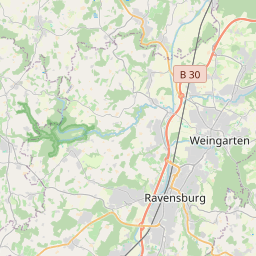
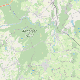
| Centre Point | 47.7966976,9.6548474 |
| OSM | way 562259943 |
| Computed Postcode | 88250 |
| Address Tags | |
| Extra Tags | 60 (maxspeed)
3.5 (maxweight)
asphalt (surface)
|
| Local name | Type | OSM | Address rank | Admin level | Distance | |
| K 7948 | highway:tertiary | way 562259943 | 26 | 0 | details > | |
| Burach | place:suburb | node 5041280606 | 20 | 0 | details > | |
| Weingarten | place:town | relation 2808306 | 16 | 8 | 0 | details > |
| Schlier | place:village | relation 2808302 | 16 | 8 | 0 | details > |
| Verwaltungsverband Mittleres Schussental | boundary:administrative | relation 2951923 | 14 | 7 | 0 | details > |
| Verwaltungsverband Gullen | boundary:administrative | relation 2951843 | 14 | 7 | 0 | details > |
| Landkreis Ravensburg | place:county | relation 2808774 | 12 | 6 | 0 | details > |
| Regierungsbezirk Tübingen | boundary:administrative | relation 2811874 | 10 | 5 | 0 | details > |
| Baden-Württemberg | place:state | relation 62611 | 8 | 4 | 0 | details > |
| 88250 | place:postcode | 5 | 0 | |||
| 88250 | place:postcode | relation 1111981 | 5 | 0 | details > | |
| 88281 | place:postcode | relation 1112065 | 5 | 0 | details > | |
| Deutschland | place:country | relation 51477 | 4 | 2 | ~4 m | details > |
| de | place:country_code | 4 | 0 |