| Name | Steingrübenweg (name)
|
| Type | highway:unclassified |
| Last Updated | 2018-12-04 17:57 |
| Admin Level | 15 |
| Rank | Street / Major Landmark |
| Importance | 0.1 (estimated) |
| Coverage | Point |
| Centre Point | 48.7955311,9.0426483 |
| OSM | way 617349633 |
| Computed Postcode | 70839 |
| Address Tags | |
| Extra Tags | 30 (maxspeed)
2.8 (maxweight)
asphalt (surface)
4.5 (width)
|
| Local name | Type | OSM | Address rank | Admin level | Distance | |
| Steingrübenweg | highway:unclassified | way 617349633 | 26 | 0 | details > | |
| Ramtel | place:suburb | node 273015579 | 20 | 0 | details > | |
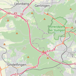
| Gerlingen | place:town | relation 405812 | 16 | 8 | 0 | details > |
| Landkreis Ludwigsburg | boundary:administrative | relation 62536 | 12 | 6 | 0 | details > |
| Regierungsbezirk Stuttgart | boundary:administrative | relation 22041 | 10 | 5 | 0 | details > |
| Baden-Württemberg | place:state | relation 62611 | 8 | 4 | 0 | details > |
| 70839 | place:postcode | 5 | 0 | |||
| 70839 | place:postcode | relation 1228330 | 5 | 0 | details > | |
| Deutschland | place:country | relation 51477 | 4 | 2 | ~3 m | details > |
| de | place:country_code | 4 | 0 |