| Name | Bahnhofstraße (name)
|
| Type | highway:residential |
| Last Updated | 2018-12-04 04:33 |
| Admin Level | 15 |
| Rank | Street / Major Landmark |
| Importance | 0.1 (estimated) |
| Coverage | Point |
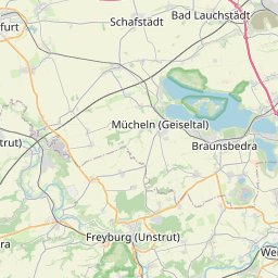
| Centre Point | 51.1848056,11.9086486 |
| OSM | way 626009493 |
| Computed Postcode | 06667 |
| Address Tags | |
| Extra Tags | 1 (lanes)
30 (maxspeed)
no (oneway)
good (smoothness)
asphalt (surface)
5 (width)
|
| Local name | Type | OSM | Address rank | Admin level | Distance | |
| Bahnhofstraße | highway:residential | way 626009493 | 26 | 0 | details > | |
| Leißling | boundary:administrative | relation 2405457 | 20 | 10 | 0 | details > |
| Weißenfels | place:town | relation 2405268 | 16 | 8 | 0 | details > |
| Uichteritz | place:village | node 34090994 | 16 | 0 | details > | |
| Plennschütz | place:village | node 1896164827 | 16 | 0 | details > | |
| Plotha | place:village | node 1896164830 | 16 | 0 | details > | |
| Leißling | place:village | node 34091005 | 16 | 0 | details > | |
| Lobitzsch | place:village | node 277290568 | 16 | 0 | details > | |
| Burgenlandkreis | place:county | relation 62639 | 12 | 6 | 0 | details > |
| Sachsen-Anhalt | place:state | relation 62607 | 8 | 4 | 0 | details > |
| 06667 | place:postcode | 5 | 0 | |||
| 06667 | place:postcode | relation 2405335 | 5 | 0 | details > | |
| Deutschland | place:country | relation 51477 | 4 | 2 | ~2 m | details > |
| de | place:country_code | 4 | 0 | |||
Parent Of | ||||||
Information | ||||||
| RADKultur Weissenfels | tourism:information | node 3129665398 | 30 | ~87 m | details > | |
| Radwege im Naturpark | tourism:information | node 4340259879 | 30 | ~83 m | details > | |
| No Name | tourism:information | node 4224274489 | 30 | ~24 m | details > | |
| No Name | tourism:information | node 3129666606 | 30 | ~105 m | details > | |
| No Name | tourism:information | node 1895369954 | 30 | ~25 m | details > | |
Garden | ||||||
| No Name | leisure:garden | relation 2621392 | 30 | ~100 m | details > | |