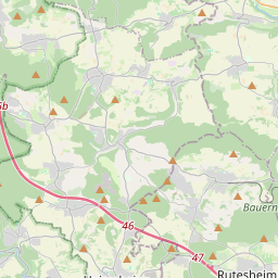
| Name | K 1014 (ref)
|
| Type | highway:secondary |
| Last Updated | 2018-12-04 17:56 |
| Admin Level | 15 |
| Rank | Street / Major Landmark |
| Importance | 0.1 (estimated) |
| Coverage | Point |
| Centre Point | 48.7763209,8.882175 |
| OSM | way 631958962 |
| Computed Postcode | 71263 |
| Address Tags | |
| Extra Tags | asphalt (surface)
|
| Local name | Type | OSM | Address rank | Admin level | Distance | |
| K 1014 | highway:secondary | way 631958962 | 26 | 0 | details > | |
| Merklingen | boundary:administrative | relation 4832713 | 20 | 10 | 0 | details > |
| Heidehöfe | place:isolated_dwelling | node 3680745886 | 20 | 0 | details > | |
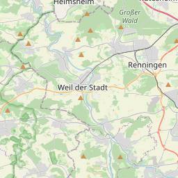
| Weil der Stadt | place:town | relation 722152 | 16 | 8 | 0 | details > |
| Landkreis Böblingen | boundary:administrative | relation 62721 | 12 | 6 | 0 | details > |
| Regierungsbezirk Stuttgart | boundary:administrative | relation 22041 | 10 | 5 | 0 | details > |
| Baden-Württemberg | place:state | relation 62611 | 8 | 4 | 0 | details > |
| 71263 | place:postcode | 5 | 0 | |||
| 71263 | place:postcode | relation 3378979 | 5 | 0 | details > | |
| Deutschland | place:country | relation 51477 | 4 | 2 | ~3 m | details > |
| de | place:country_code | 4 | 0 |