| Name | Döhren (name)
|
| Type | boundary:administrative |
| Last Updated | 2018-12-03 17:25 |
| Admin Level | 9 |
| Rank | Village / Hamlet |
| Importance | 0.3 (estimated) |
| Coverage | Polygon |
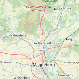
| Centre Point | 52.33460465,11.0196729235437 |
| OSM | relation 3977260 |
| Computed Postcode | |
| Address Tags | |
| Extra Tags | Q687922 (wikidata)
de:Döhren (Oebisfelde-Weferlingen) (wikipedia)
|
| Local name | Type | OSM | Address rank | Admin level | Distance | |
| Döhren | boundary:administrative | relation 3977260 | 18 | 9 | 0 | details > |
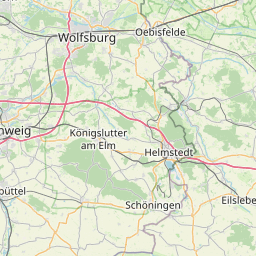
| Oebisfelde-Weferlingen | boundary:administrative | relation 1286635 | 16 | 8 | 0 | details > |
| Börde | place:county | relation 62359 | 12 | 6 | 0 | details > |
| Sachsen-Anhalt | place:state | relation 62607 | 8 | 4 | 0 | details > |
| Deutschland | place:country | relation 51477 | 4 | 2 | ~1 m | details > |
| de | place:country_code | 4 | 0 | |||
Parent Of | ||||||
Village | ||||||
| Döhren | place:village | node 240126396 | 16 | ~713 m | details > | |
Secondary | ||||||
| Bahnhofstraße | highway:secondary | way 284846768 | 26 | ~751 m | details > | |
| L 42 | highway:secondary | way 256386289 | 26 | ~553 m | details > | |
| L 647 | highway:secondary | way 30995450 | 26 | ~1.4 km | details > | |
| Weferlinger Straße | highway:secondary | way 202320948 | 26 | ~586 m | details > | |
Residential | ||||||
| Bahnhofstraße | highway:residential | way 29139233 | 26 | ~751 m | details > | |
| Dorfstraße | highway:residential | way 30026072 | 26 | ~786 m | details > | |
| Dorfstraße | highway:residential | way 625236061 | 26 | ~577 m | details > | |
| Flachswerk | highway:residential | way 115423447 | 26 | ~943 m | details > | |
| Gartenweg | highway:residential | way 196832885 | 26 | ~577 m | details > | |
| Lukenweg | highway:residential | way 256386293 | 26 | ~487 m | details > | |
| Lukenweg | highway:residential | way 29138386 | 26 | ~577 m | details > | |
| Schmiedeberg | highway:residential | way 30026197 | 26 | ~604 m | details > | |
| Schulplatz | highway:residential | way 625236060 | 26 | ~765 m | details > | |
| Steinstücken | highway:residential | way 29139325 | 26 | ~395 m | details > | |
| No Name | highway:residential | way 30026118 | 26 | ~801 m | details > | |
Tertiary | ||||||
| K 46 | highway:tertiary | way 34257726 | 26 | ~2.3 km | details > | |
| K 47 | highway:tertiary | way 326099398 | 26 | ~1.1 km | details > | |
| K 47 | highway:tertiary | way 29139981 | 26 | ~896 m | details > | |
Track | ||||||
| Kolonnenweg | highway:track | way 195602634 | 26 | ~820 m | details > | |
| Kolonnenweg | highway:track | way 195602659 | 26 | ~926 m | details > | |
| Kolonnenweg | highway:track | way 518496121 | 26 | ~806 m | details > | |
Unclassified | ||||||
| No Name | highway:unclassified | way 303659556 | 26 | ~460 m | details > | |
| No Name | highway:unclassified | way 29139703 | 26 | ~532 m | details > | |
| No Name | highway:unclassified | way 29139724 | 26 | ~820 m | details > | |
Service | ||||||
| Bahnhofstraße | highway:service | way 625236059 | 27 | ~776 m | details > | |
| Gartenweg | highway:service | way 197609297 | 27 | ~784 m | details > | |
Path | ||||||
| Willhelmweg | highway:path | way 564121383 | 27 | ~1.4 km | details > | |