| Name | Geltinger Straße (name)
|
| Type | highway:tertiary |
| Last Updated | 2018-12-04 11:05 |
| Admin Level | 15 |
| Rank | Street / Major Landmark |
| Importance | 0.1 (estimated) |
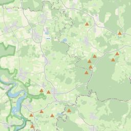
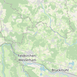
| Coverage | Point |
| Centre Point | 47.9062709,11.4219124 |
| OSM | way 4056284 |
| Computed Postcode | 82515 |
| Address Tags | |
| Extra Tags | 30 (maxspeed)
good (smoothness)
asphalt (surface)
|
| Local name | Type | OSM | Address rank | Admin level | Distance | |
| Geltinger Straße | highway:tertiary | way 4056284 | 26 | 0 | details > | |
| Weidach | place:suburb | node 59904021 | 20 | 0 | details > | |
| Nantwein | place:suburb | node 2012559068 | 20 | 0 | details > | |
| Farchet | place:suburb | node 59630512 | 20 | 0 | details > | |
| Wolfratshausen | place:town | relation 935131 | 16 | 8 | 0 | details > |
| Landkreis Bad Tölz-Wolfratshausen | boundary:administrative | relation 62472 | 12 | 6 | 0 | details > |
| Obb | boundary:administrative | relation 2145274 | 10 | 5 | 0 | details > |
| Bayern | place:state | relation 2145268 | 8 | 4 | ~1 m | details > |
| 82515 | place:postcode | 5 | 0 | |||
| 82515 | place:postcode | relation 1109151 | 5 | 0 | details > | |
| Deutschland | place:country | relation 51477 | 4 | 2 | ~4 m | details > |
| de | place:country_code | 4 | 0 | |||
Parent Of | ||||||
Car | ||||||
| Auto Gerb | shop:car | node 460405346 | 30 | ~347 m | details > | |
Fuel | ||||||
| Erdgastankstelle | amenity:fuel | node 732717693 | 30 | ~218 m | details > | |
Bar | ||||||
| Escobar | amenity:bar | node 394939237 | 30 | ~409 m | details > | |
Sports_centre | ||||||
| Tenniscenter Wolfratshausen | leisure:sports_centre | way 229657172 | 30 | ~182 m | details > | |
Building | ||||||
| No Name | building:yes | way 384714250 | 30 | ~137 m | details > | |
Pitch | ||||||
| No Name | leisure:pitch | way 384714237 | 30 | ~275 m | details > | |
| No Name | leisure:pitch | way 384714238 | 30 | ~269 m | details > | |
| No Name | leisure:pitch | way 384714236 | 30 | ~279 m | details > | |