| Name | |
| Type | highway:unclassified |
| Last Updated | 2018-12-04 08:04 |
| Admin Level | 15 |
| Rank | Street / Major Landmark |
| Importance | 0.1 (estimated) |
| Coverage | Polygon |
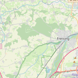
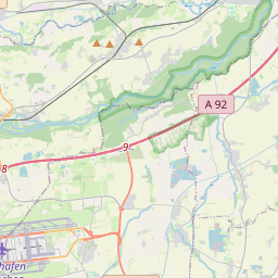
| Centre Point | 48.4124414,11.801192915355 |
| OSM | way 4318794 |
| Computed Postcode | 85417 |
| Address Tags | |
| Extra Tags | good (smoothness)
asphalt (surface)
|
| Local name | Type | OSM | Address rank | Admin level | Distance | |
| No Name | highway:unclassified | way 4318794 | 26 | 0 | details > | |
| Ast | place:suburb | node 669874284 | 20 | 0 | details > | |
| Marzling | place:village | relation 30004 | 16 | 8 | 0 | details > |
| Landkreis Freising | boundary:administrative | relation 62633 | 12 | 6 | 0 | details > |
| Obb | boundary:administrative | relation 2145274 | 10 | 5 | 0 | details > |
| Bayern | place:state | relation 2145268 | 8 | 4 | 0 | details > |
| 85417 | place:postcode | 5 | 0 | |||
| 85417 | place:postcode | relation 1096830 | 5 | 0 | details > | |
| Deutschland | place:country | relation 51477 | 4 | 2 | ~3 m | details > |
| de | place:country_code | 4 | 0 |