| Name | |
| Type | highway:unclassified |
| Last Updated | 2018-12-04 11:03 |
| Admin Level | 15 |
| Rank | Street / Major Landmark |
| Importance | 0.1 (estimated) |
| Coverage | Point |
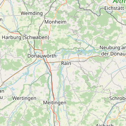
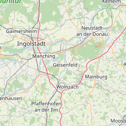
| Centre Point | 48.431053,11.4410346 |
| OSM | way 9780985 |
| Computed Postcode | 85305 |
| Address Tags | |
| Extra Tags | 100 (maxspeed)
3.5 (maxweight)
paved (surface)
3.5 (width)
|
| Local name | Type | OSM | Address rank | Admin level | Distance | |
| No Name | highway:unclassified | way 9780985 | 26 | 0 | details > | |
| Jetzendorf | place:village | relation 393071 | 16 | 8 | 0 | details > |
| Speckhof | place:hamlet | node 77795256 | 16 | 0 | details > | |
| Kolmhof | place:hamlet | node 301165424 | 16 | 0 | details > | |
| Frechmühle | place:hamlet | node 353197426 | 16 | 0 | details > | |
| Rabl | place:hamlet | node 2386034186 | 16 | 0 | details > | |
| Lampertshausen | place:village | node 545717139 | 16 | 0 | details > | |
| Maxhof | place:hamlet | node 2432540858 | 16 | 0 | details > | |
| Steinkirchen | place:village | node 392275116 | 16 | 0 | details > | |
| Petershausen | place:village | relation 934479 | 16 | 8 | 0 | details > |
| Lindhof | place:hamlet | node 353197056 | 16 | 0 | details > | |
| Landkreis Dachau | boundary:administrative | relation 62556 | 12 | 6 | 0 | details > |
| Landkreis Pfaffenhofen an der Ilm | boundary:administrative | relation 62371 | 12 | 6 | 0 | details > |
| Obb | boundary:administrative | relation 2145274 | 10 | 5 | 0 | details > |
| Bayern | place:state | relation 2145268 | 8 | 4 | 0 | details > |
| 85305 | place:postcode | 5 | 0 | |||
| 85238 | place:postcode | relation 1099874 | 5 | 0 | details > | |
| 85305 | place:postcode | relation 1096935 | 5 | 0 | details > | |
| Deutschland | place:country | relation 51477 | 4 | 2 | ~3 m | details > |
| de | place:country_code | 4 | 0 |