| Name | Teufelslochweg (name)
|
| Type | highway:residential |
| Last Updated | 2018-12-04 19:00 |
| Admin Level | 15 |
| Rank | Street / Major Landmark |
| Importance | 0.1 (estimated) |
| Coverage | Point |
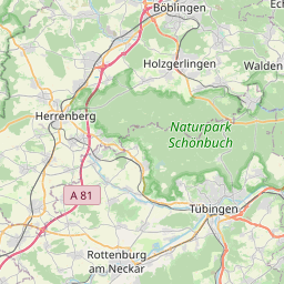
| Centre Point | 48.7183552,9.0095482 |
| OSM | way 14327585 |
| Computed Postcode | 71065 |
| Address Tags | |
| Extra Tags | destination (motor_vehicle)
asphalt (surface)
|
| Local name | Type | OSM | Address rank | Admin level | Distance | |
| Teufelslochweg | highway:residential | way 14327585 | 26 | 0 | details > | |
| Sindelfingen (Stadt) | boundary:administrative | relation 901473 | 18 | 9 | 0 | details > |
| Sindelfingen | place:town | relation 722092 | 16 | 8 | 0 | details > |
| Landkreis Böblingen | boundary:administrative | relation 62721 | 12 | 6 | 0 | details > |
| Regierungsbezirk Stuttgart | boundary:administrative | relation 22041 | 10 | 5 | 0 | details > |
| Baden-Württemberg | place:state | relation 62611 | 8 | 4 | 0 | details > |
| 71065 | place:postcode | 5 | 0 | |||
| 71065 | place:postcode | relation 1226643 | 5 | 0 | details > | |
| Deutschland | place:country | relation 51477 | 4 | 2 | ~3 m | details > |
| de | place:country_code | 4 | 0 | |||
Parent Of | ||||||
Pitch | ||||||
| Fitneßgeräte Park | leisure:pitch | way 218420452 | 30 | ~55 m | details > | |
Playground | ||||||
| No Name | leisure:playground | way 45360485 | 30 | ~53 m | details > | |