| Name | Friedrichstraße (name)
|
| Type | highway:living_street |
| Last Updated | 2018-12-04 18:58 |
| Admin Level | 15 |
| Rank | Street / Major Landmark |
| Importance | 0.1 (estimated) |
| Coverage | Point |
| Centre Point | 48.6578987,9.0625885 |
| OSM | way 23052247 |
| Computed Postcode | 71101 |
| Address Tags | |
| Extra Tags | asphalt (surface)
|
| Local name | Type | OSM | Address rank | Admin level | Distance | |
| Friedrichstraße | highway:living_street | way 23052247 | 26 | 0 | details > | |
| Rauher Kapf | place:suburb | node 32861472 | 20 | 0 | details > | |
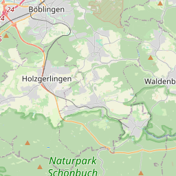
| Schönaich | place:village | relation 856209 | 16 | 8 | 0 | details > |
| Landkreis Böblingen | boundary:administrative | relation 62721 | 12 | 6 | 0 | details > |
| Regierungsbezirk Stuttgart | boundary:administrative | relation 22041 | 10 | 5 | 0 | details > |
| Baden-Württemberg | place:state | relation 62611 | 8 | 4 | 0 | details > |
| 71101 | place:postcode | 5 | 0 | |||
| 71101 | place:postcode | relation 3375354 | 5 | 0 | details > | |
| Deutschland | place:country | relation 51477 | 4 | 2 | ~3 m | details > |
| de | place:country_code | 4 | 0 | |||
Parent Of | ||||||
Parking | ||||||
| Bürgerhaus | amenity:parking | node 258189873 | 30 | ~37 m | details > | |
Building | ||||||
| No Name | building:yes | way 122817607 | 30 | ~35 m | details > | |
| No Name | building:yes | way 389590343 | 30 | ~12 m | details > | |