| Name | Bucher Allee (name)
|
| Type | highway:track |
| Last Updated | 2018-12-04 11:01 |
| Admin Level | 15 |
| Rank | Street / Major Landmark |
| Importance | 0.1 (estimated) |
| Coverage | Point |
| Centre Point | 48.0457891,11.1360181 |
| OSM | way 23984632 |
| Computed Postcode | 82266 |
| Address Tags | |
| Extra Tags | yes (foot)
gravel (surface)
grade2 (tracktype)
2 (width)
|
| Local name | Type | OSM | Address rank | Admin level | Distance | |
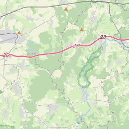
| Bucher Allee | highway:track | way 23984632 | 26 | 0 | details > | |
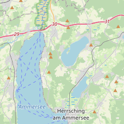
| Inning am Ammersee | place:village | relation 932279 | 16 | 8 | 0 | details > |
| Buch | place:village | node 1737720713 | 16 | 0 | details > | |
| Breitbrunn | place:village | node 1700548627 | 16 | 0 | details > | |
| Herrsching am Ammersee | place:town | relation 932292 | 16 | 8 | 0 | details > |
| Landkreis Starnberg | boundary:administrative | relation 62458 | 12 | 6 | 0 | details > |
| Obb | boundary:administrative | relation 2145274 | 10 | 5 | 0 | details > |
| Bayern | place:state | relation 2145268 | 8 | 4 | 0 | details > |
| 82266 | place:postcode | 5 | 0 | |||
| 82266 | place:postcode | relation 1104732 | 5 | 0 | details > | |
| 82211 | place:postcode | relation 1104728 | 5 | 0 | details > | |
| Deutschland | place:country | relation 51477 | 4 | 2 | ~3 m | details > |
| de | place:country_code | 4 | 0 |