| Name | Höhenrainweg (name)
|
| Type | highway:residential |
| Last Updated | 2018-12-04 11:06 |
| Admin Level | 15 |
| Rank | Street / Major Landmark |
| Importance | 0.1 (estimated) |
| Coverage | Point |
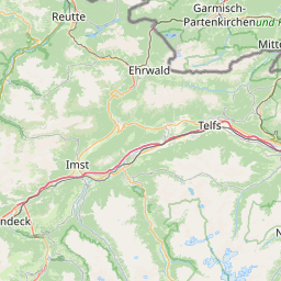
| Centre Point | 47.4779124,11.0198402 |
| OSM | way 24279233 |
| Computed Postcode | 82491 |
| Address Tags | |
| Extra Tags | asphalt (surface)
|
| Local name | Type | OSM | Address rank | Admin level | Distance | |
| Höhenrainweg | highway:residential | way 24279233 | 26 | 0 | details > | |
| Untergrainau | place:suburb | node 683062554 | 20 | 0 | details > | |
| Grainau | place:village | relation 939332 | 16 | 8 | 0 | details > |
| Landkreis Garmisch-Partenkirchen | boundary:administrative | relation 62726 | 12 | 6 | 0 | details > |
| Obb | boundary:administrative | relation 2145274 | 10 | 5 | 0 | details > |
| Bayern | place:state | relation 2145268 | 8 | 4 | ~2 m | details > |
| 82491 | place:postcode | 5 | 0 | |||
| 82491 | place:postcode | relation 3355441 | 5 | 0 | details > | |
| Deutschland | place:country | relation 51477 | 4 | 2 | ~4 m | details > |
| de | place:country_code | 4 | 0 | |||
Parent Of | ||||||
Information | ||||||
| Klima & Wasser im Wandel/ Fichte | tourism:information | node 3140310777 | 30 | ~184 m | details > | |
Memorial | ||||||
| Kriegergedächtniskapelle | historic:memorial | node 2564479768 | 30 | ~176 m | details > | |
Shelter | ||||||
| s´Hüttle | amenity:shelter | node 3125358188 | 30 | ~147 m | details > | |
Building | ||||||
| No Name | building:yes | way 242841614 | 30 | ~11 m | details > | |
| No Name | building:yes | way 242841482 | 30 | ~14 m | details > | |
Bench | ||||||
| No Name | amenity:bench | node 4927418780 | 30 | ~162 m | details > | |
| No Name | amenity:bench | node 4927418774 | 30 | ~166 m | details > | |
| No Name | amenity:bench | node 3140310791 | 30 | ~191 m | details > | |
| No Name | amenity:bench | node 293711125 | 30 | ~109 m | details > | |
| No Name | amenity:bench | node 4927418777 | 30 | ~158 m | details > | |
Viewpoint | ||||||
| No Name | tourism:viewpoint | node 5973210562 | 30 | ~179 m | details > | |