| Name | Uferstraße (name)
|
| Type | highway:unclassified |
| Last Updated | 2018-12-04 14:13 |
| Admin Level | 15 |
| Rank | Street / Major Landmark |
| Importance | 0.1 (estimated) |
| Coverage | Point |
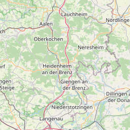
| Centre Point | 48.7332263,10.1286905 |
| OSM | way 24337166 |
| Computed Postcode | 89551 |
| Address Tags | |
| Extra Tags | destination (access)
yes (foot)
|
| Local name | Type | OSM | Address rank | Admin level | Distance | |
| Uferstraße | highway:unclassified | way 24337166 | 26 | 0 | details > | |
| Königsbronn | place:village | relation 2792008 | 16 | 8 | 0 | details > |
| Itzelberg | place:village | node 331253291 | 16 | 0 | details > | |
| Landkreis Heidenheim | boundary:administrative | relation 2812850 | 12 | 6 | 0 | details > |
| Regierungsbezirk Stuttgart | boundary:administrative | relation 22041 | 10 | 5 | 0 | details > |
| Baden-Württemberg | place:state | relation 62611 | 8 | 4 | ~1 m | details > |
| 89551 | place:postcode | 5 | 0 | |||
| 89551 | place:postcode | relation 1141131 | 5 | 0 | details > | |
| Deutschland | place:country | relation 51477 | 4 | 2 | ~3 m | details > |
| de | place:country_code | 4 | 0 |