| Name | Bertoldsheimer Straße (name)
Bertoldsheimer Straße (name:de)
St 2047 (ref)
|
| Type | highway:secondary |
| Last Updated | 2018-12-04 10:26 |
| Admin Level | 15 |
| Rank | Street / Major Landmark |
| Importance | 0.1 (estimated) |
| Coverage | Point |
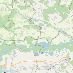
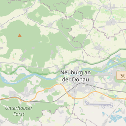
| Centre Point | 48.7579024,11.0444293 |
| OSM | way 25377748 |
| Computed Postcode | 86643 |
| Address Tags | |
| Extra Tags | 50 (maxspeed)
asphalt (surface)
|
| Local name | Type | OSM | Address rank | Admin level | Distance | |
| Bertoldsheimer Straße | highway:secondary | way 25377748 | 26 | 0 | details > | |
| Rennertshofen | place:village | relation 943661 | 16 | 8 | 0 | details > |
| Landkreis Neuburg-Schrobenhausen | boundary:administrative | relation 62655 | 12 | 6 | 0 | details > |
| Obb | boundary:administrative | relation 2145274 | 10 | 5 | 0 | details > |
| Bayern | place:state | relation 2145268 | 8 | 4 | 0 | details > |
| 86643 | place:postcode | 5 | 0 | |||
| 86643 | place:postcode | relation 1142093 | 5 | 0 | details > | |
| Deutschland | place:country | relation 51477 | 4 | 2 | ~3 m | details > |
| de | place:country_code | 4 | 0 | |||
Parent Of | ||||||
Bus_stop | ||||||
| Rennertshofen, Kapelle/Abzw. Mittelweg | highway:bus_stop | node 5961547927 | 30 | ~14 m | details > | |
House | ||||||
| No Name | place:house | node 2352581298 | 30 | ~52 m | details > | |
| No Name | place:house | node 2352581732 | 30 | ~28 m | details > | |
| No Name | place:house | node 2352581802 | 30 | ~22 m | details > | |
| No Name | place:house | node 2352581826 | 30 | ~21 m | details > | |
| No Name | place:house | node 2352581836 | 30 | ~31 m | details > | |
Place_of_worship | ||||||
| No Name | amenity:place_of_worship | way 225148225 | 30 | ~63 m | details > | |