| Name | Petersweg (name)
|
| Type | highway:unclassified |
| Last Updated | 2018-12-04 13:37 |
| Admin Level | 15 |
| Rank | Street / Major Landmark |
| Importance | 0.1 (estimated) |
| Coverage | Point |
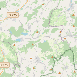
| Centre Point | 50.4449017,9.8275572 |
| OSM | way 27344274 |
| Computed Postcode | 36129 |
| Address Tags | |
| Extra Tags |
| Local name | Type | OSM | Address rank | Admin level | Distance | |
| Petersweg | highway:unclassified | way 27344274 | 26 | 0 | details > | |
| Haukeller | place:isolated_dwelling | node 3118188139 | 20 | 0 | details > | |
| Gersfeld | place:town | relation 454864 | 16 | 8 | 0 | details > |
| Altenfeld | place:village | node 287030132 | 16 | 0 | details > | |
| Schwashof | place:hamlet | node 455431749 | 16 | 0 | details > | |
| Oberrod | place:hamlet | node 443671103 | 16 | 0 | details > | |
| Dalherda | place:village | node 5304379405 | 16 | 0 | details > | |
| Böhmenhof | place:hamlet | node 3961072152 | 16 | 0 | details > | |
| Röderhaid | place:hamlet | node 3956163576 | 16 | 0 | details > | |
| Schmalnau | place:village | node 333942891 | 16 | 0 | details > | |
| Unterwehl | place:hamlet | node 455431738 | 16 | 0 | details > | |
| Gichenbach | place:village | node 1665044466 | 16 | 0 | details > | |
| Hettenhausen | place:village | node 355594600 | 16 | 0 | details > | |
| Landkreis Fulda | place:county | relation 62700 | 12 | 6 | 0 | details > |
| Regierungsbezirk Kassel | boundary:administrative | relation 286675 | 10 | 5 | 0 | details > |
| Hessen | place:state | relation 62650 | 8 | 4 | 0 | details > |
| 36129 | place:postcode | 5 | 0 | |||
| 36129 | place:postcode | relation 3354360 | 5 | 0 | details > | |
| Deutschland | place:country | relation 51477 | 4 | 2 | ~1 m | details > |
| de | place:country_code | 4 | 0 | |||
| Europe | place:continent | node 25871341 | 2 | 0 | details > | |
Parent Of | ||||||
Shelter | ||||||
| No Name | amenity:shelter | node 1460562460 | 30 | ~431 m | details > | |
Information | ||||||
| No Name | tourism:information | node 4410334793 | 30 | ~423 m | details > | |
Picnic_site | ||||||
| No Name | tourism:picnic_site | node 4410334792 | 30 | ~435 m | details > | |
Parking | ||||||
| No Name | amenity:parking | node 4592830056 | 30 | ~417 m | details > | |